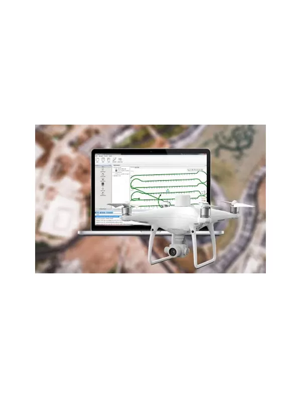
The PPK Go post-processing engine enables drones to achieve the most accurate and reliable camera positioning data in any coordinate system without measure targets or GCPs. With 2cm accuracies on XYZ, the output text file with position information or geotagged images can then be used directly in major photogrammetric mapping or 3D modeling software.
Need Help?
(+971) 45478282
 Home
Home
