software solutions that integrate measuring devices to achieve optimal efficiency.
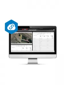
- Build production plans based on site plans
- Assign Tasks to each machine and track against the plan in real time
- Send Tasks and texts directly to each control box
- Check your progress with real-time, as-built mapping and 3D Visualizer
- Gantt charts for Tasks and dependencies
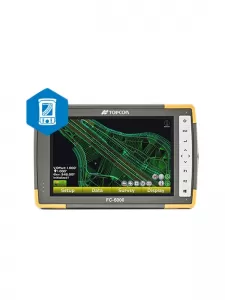
- User interface easy to learn and use
- Deliver files directly to 3D equipped machines
- Stake out any features in the design
- Topo or auto-topo surfaces and calculate volumes
- Collect as-built data as points, lines, surfaces or volumes
- Compatible with all Topcon GNSS receivers and robotic systems
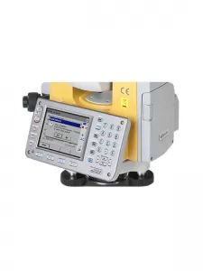
- Stand-alone Windows CE program installed on MS or MS AX robots
- Ability to monitor multiple targets (prism, sheet, reflectorless) on the same project
- RAPID 2D Scan (for MS and AX series robotic total stations only)
- Ability to measure deformation of each point against initial dE, dN and dRL reference data
- MSP RAPID StarPro Lite data processing
No description
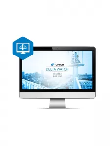
- Import/Export 3D-MC files
- Import/Export road alignments
- Projection, datum, and geoid Support
- Merge TIN surfaces
- Cut/ Fill color mapping and volume calculation
- Sitelink3D remote connect/file transfer/messaging
No description