
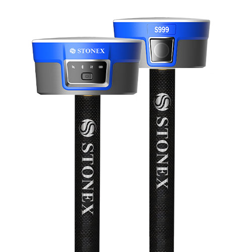
Stonex S999 GNSS Receiver
The STONEX S999 GNSS Receiver is a next-generation high-performance RTK GNSS receiver designed for professional surveying, construction, mapping, GIS, and geospatial applications. Equipped with 1408 multi-constellation channels, advanced IMU tilt compensation, integrated dual cameras, and optional dual-frequency UHF radio, the S999 delivers precise, reliable, and efficient field performance even in demanding environments.
The receiver supports all major satellite constellations including GPS, GLONASS, Galileo, BeiDou, QZSS, IRNSS, and SBAS, ensuring maximum satellite availability and positioning stability. With integrated photogrammetry capabilities, visual stakeout technology, and Android-compatible workflows through Cube-a software, the S999 significantly improves productivity and simplifies complex survey operations.
Key Features of STONEX S999 GNSS Receiver
1408 Multi-Constellation GNSS Channels
Supports GPS, GLONASS, Galileo, BeiDou, QZSS, IRNSS, SBAS, B2b PPP, and HAS signals for highly accurate positioning in challenging environments.
Advanced IMU Tilt Compensation
Integrated IMU technology allows tilt measurements up to 60° without pole calibration, increasing field productivity by up to 40%.
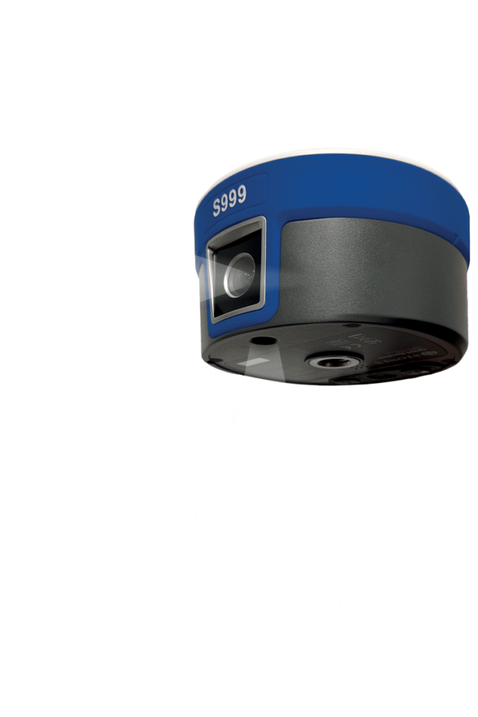
Dual Camera System
Equipped with:
- Front camera for visual stakeout
- Lower camera for photogrammetric measurements and inaccessible point surveys
Visual Stakeout Technology
Operators can navigate precisely to stakeout points using real-time camera guidance and graphical positioning indicators.
Photogrammetry & 3D Modeling
Capture videos and generate:
- Point clouds
- 3D meshes
- Semi-real-time terrain models
Compatible with Cube-3D and Cube-a software workflows.
Integrated Dual-Frequency UHF Radio
Optional 1W internal radio supports:
- 410–470 MHz
- 902.4–928 MHz
Providing reliable long-range RTK communication.
Rugged IP68 Design
Fully waterproof and dustproof construction designed for harsh field conditions and resistant to 2-meter pole drops.
High-Speed Connectivity
Features:
- 4G LTE modem
- Bluetooth 5.0
- Wi-Fi
- USB Type-C
- Web UI management
Applications of STONEX S999 GNSS Receiver
Land Surveying
High-precision RTK positioning for cadastral, boundary, and topographic surveys.
Construction Layout & Stakeout
Visual stakeout and IMU tilt compensation improve efficiency during construction layout tasks.
GIS & Utility Mapping
Ideal for utility mapping, infrastructure documentation, and GIS data collection.
Photogrammetry & 3D Modeling
Capture site data for generating point clouds, meshes, and 3D terrain models.
Road & Infrastructure Projects
Suitable for highways, railways, bridges, pipelines, and large-scale infrastructure surveys.
Mining & Quarry Surveying
Provides reliable GNSS positioning in demanding mining and excavation environments.
Included Features
- Dual Camera System
- Integrated IMU Sensor
- Internal 4G Modem
- Bluetooth & Wi-Fi Connectivity
- Cube-a Compatibility
- USB Type-C Interface
- Rugged IP68 Housing
- Internal GNSS Antenna


Reviews
There are no reviews yet.