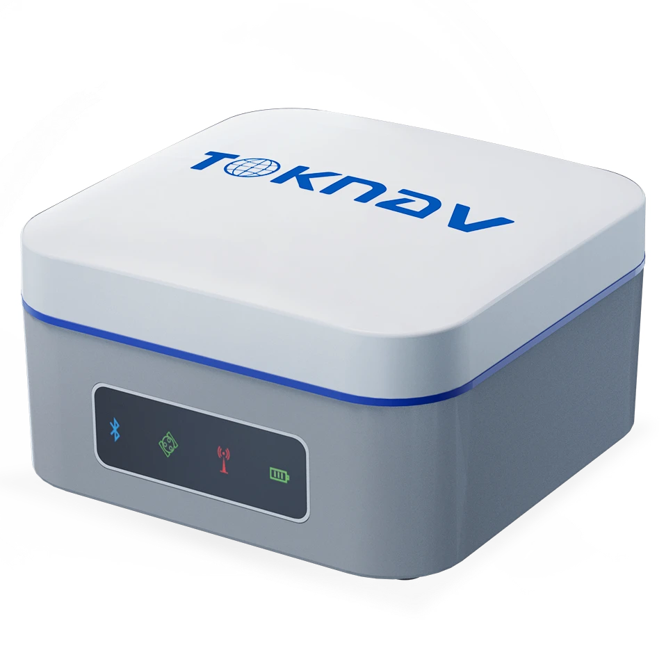
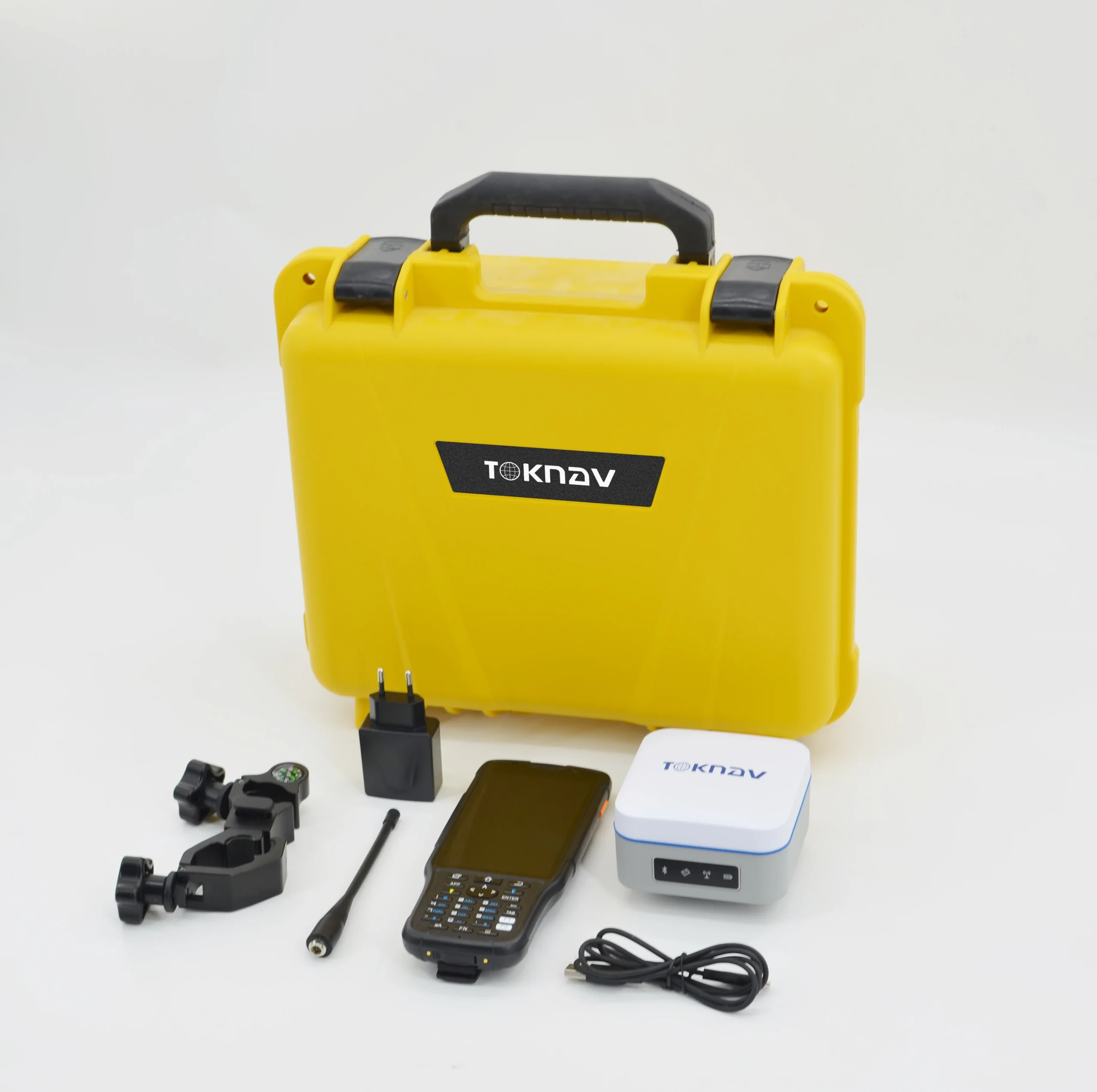


Toknav T5 GNSS Receiver – Handheld and Convenient RTK Solution
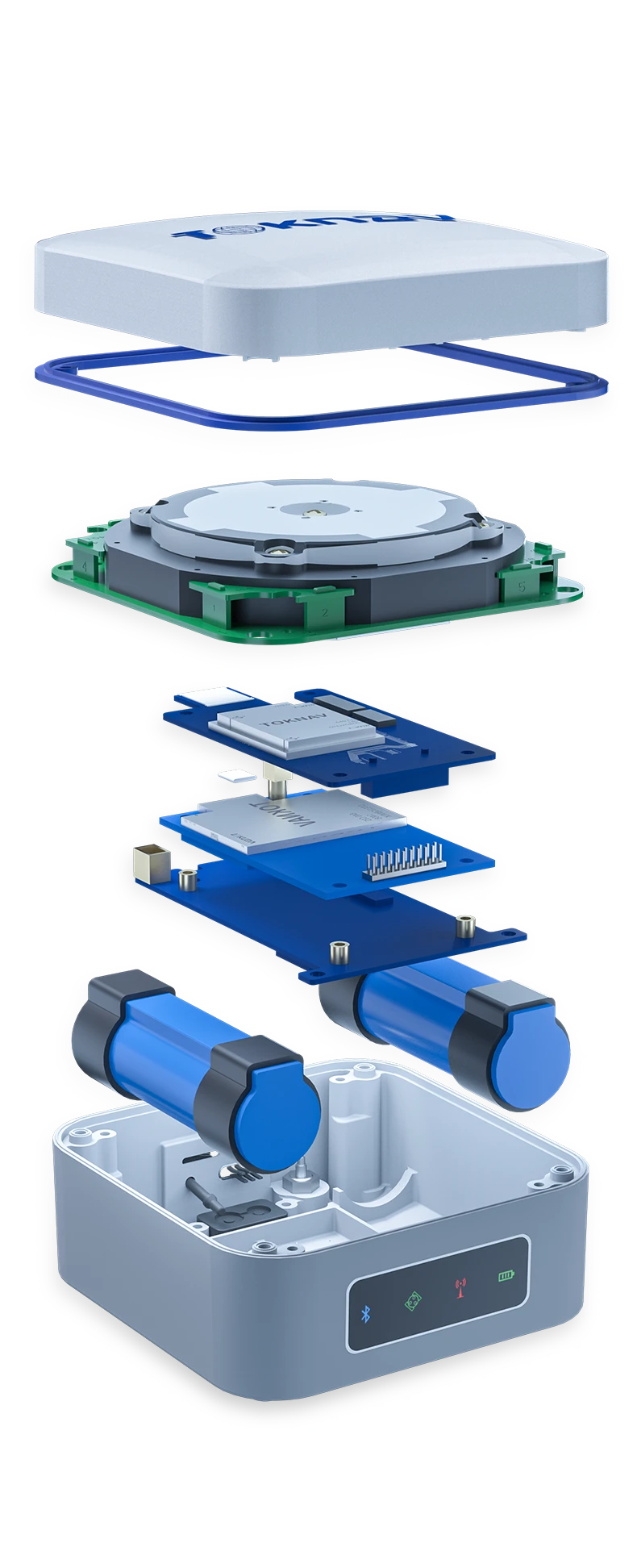
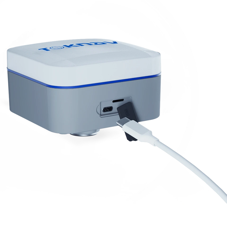
The Toknav T5 GNSS Receiver is a compact, multifunctional, and portable RTK solution designed for precision and reliability in surveying and mapping tasks. Built with a durable magnesium alloy structure and powered by a Linux operating system, the T5 is engineered for high accuracy and real-time positioning. Supporting multi-constellation tracking (GPS, GLONASS, BDS, GALILEO, QZSS, SBAS, and IRNSS), it guarantees seamless navigation in any environment. With IMU tilt compensation, users can measure accurately at up to 60° inclination. The integrated 4G modem, Bluetooth, Wi-Fi, and radio offer stable and efficient communication, making it ideal for fieldwork and geodesic applications.
Key Features of Toknav T5 GNSS Receiver
Multi-Constellation Support: Tracks GPS, GLONASS, BDS, GALILEO, QZSS, SBAS, and IRNSS for enhanced coverage and reliability.
IMU Tilt Compensation: Supports 60° inclination for precise measurement in complex environments.
Long Battery Life: High-capacity 9600mAh lithium battery provides 16+ hours of continuous operation.
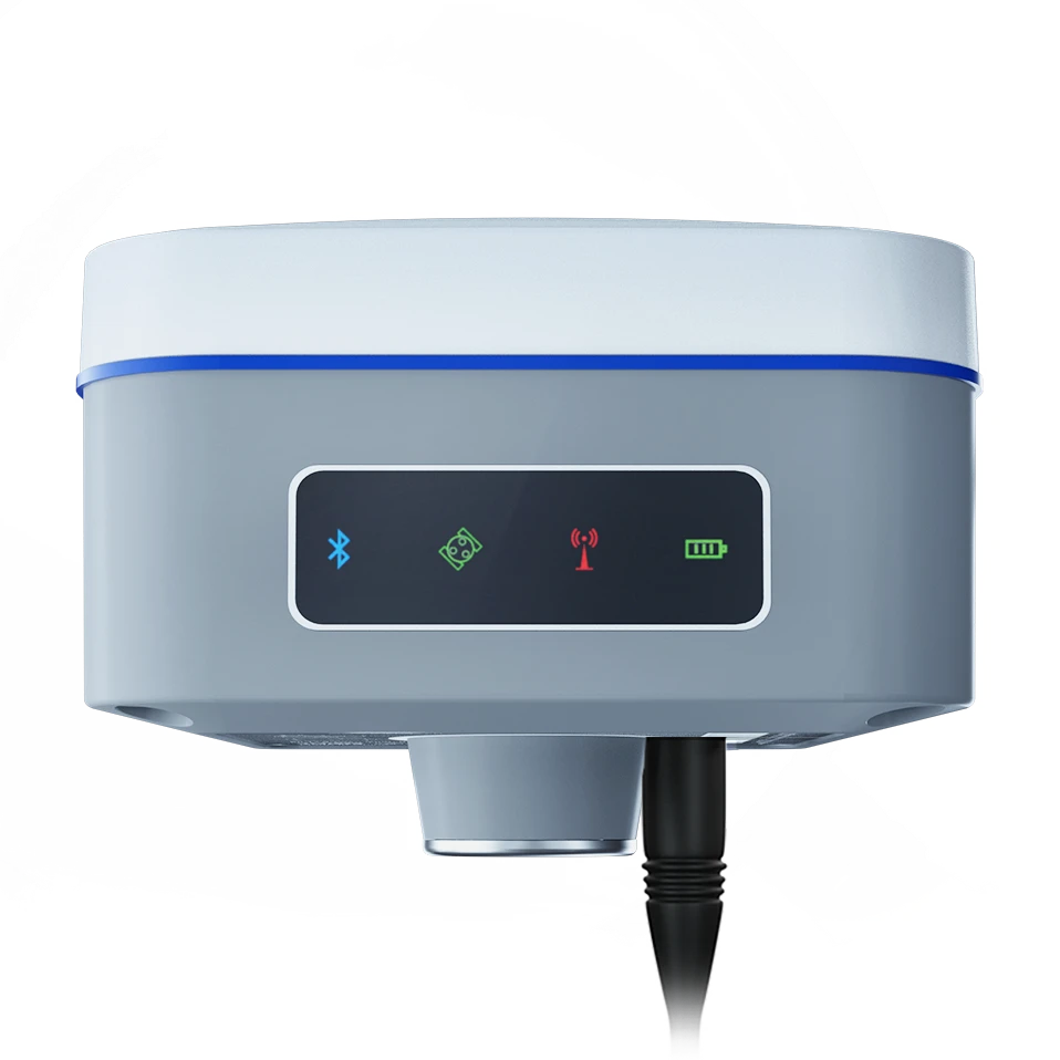
4G Modem & Wi-Fi Connectivity: Fast and stable data transmission with 4G, Bluetooth, and Wi-Fi.
Rugged Design: Made from magnesium alloy, the T5 is IP65 certified for water and dust protection.
Four-in-One Antenna: Combines GNSS, Wi-Fi, Bluetooth, and 4G in a compact and portable design.
Fast Initialization & Reacquisition: <40s cold start and <1s reacquisition time for immediate deployment.
32GB Internal Storage: Securely store vast amounts of field data.
Real-Time Data Transmission: Supports RTCM 3.X protocols for high-precision corrections.
Applications of the Toknav T5 GNSS Receiver
Land Surveying: Achieve high-precision measurements with multi-constellation support.
Construction Layout: Perform fast and accurate stakeouts with real-time corrections.
Mapping & GIS: Collect geospatial data with precision and reliability.
Agricultural Surveying: Efficiently measure land boundaries and optimize field layouts.
Infrastructure Monitoring: Monitor and survey infrastructure developments accurately.
Environmental Management: Survey land changes and protected areas with confidence.


Reviews
There are no reviews yet.