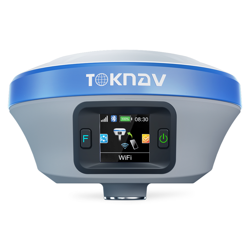
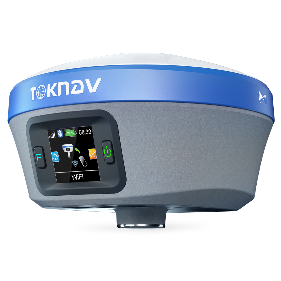
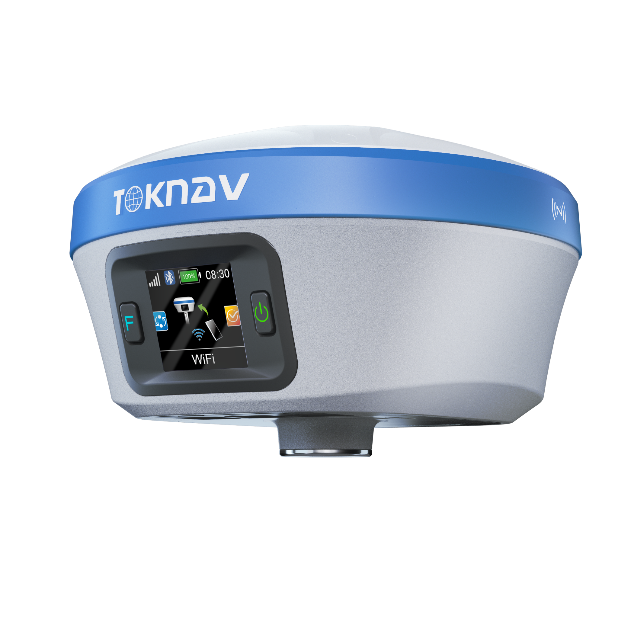
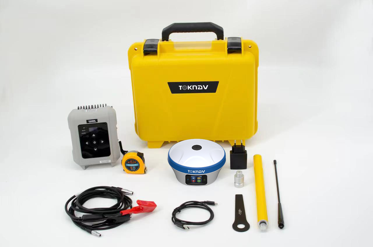
Toknav T20Pro GNSS Receiver – High-Performance Intelligent RTK Solution
The Toknav T20Pro GNSS Receiver is a high-performance, intelligent RTK solution designed for demanding geospatial applications. Featuring a powerful ARM Cortex-A7 processor, the T20Pro supports multi-constellation tracking (GPS, GLONASS, BDS, GALILEO, QZSS, and SBAS), ensuring precise and reliable positioning in all environments. Its compact magnesium alloy body, combined with an IP68 protection rating, makes it resilient to harsh conditions, while the integrated 5W radio enables long-distance transmission of up to 16 km in open areas. The 5th generation IMU technology provides robust tilt compensation, enhancing accuracy and efficiency in the field.
Key Features of Toknav T20Pro GNSS Receiver
Multi-Constellation GNSS Support: Tracks GPS, GLONASS, BDS, GALILEO, QZSS, and SBAS for maximum global coverage.
IMU Tilt Compensation: Supports real-time tilt correction up to 60°, eliminating the need for perfect vertical alignment.
Long-Lasting Battery: Built-in 6500mAh lithium battery delivers 18+ hours of continuous operation in typical conditions.
5W Adjustable Radio Power: Transmit data over distances up to 16 km with adjustable 1W/2W/5W power settings.
Rugged Magnesium Alloy Build: Durable IP68-rated construction withstands 1.5m pole drops and extreme weather.
Real-Time Data Transmission: Integrated 4G modem ensures fast connectivity and reliable data transfer.
Quick Start & Reacquisition: Fast <40s cold start and <1s reacquisition time for uninterrupted surveying.
32GB Internal Storage: Ample space for data logging and field operations.
Complete Connectivity: Supports Bluetooth, Wi-Fi, LTE, and USB PD for seamless communication and charging.
Applications of the Toknav T20Pro GNSS Receiver
Land Surveying: Achieve high-precision results with real-time corrections and long-range connectivity.
Construction Layout: Perform stakeouts with tilt compensation and enhanced accuracy.
Mapping & GIS: Capture precise geospatial data for infrastructure planning, asset mapping, and GIS projects.
Agricultural Management: Perform efficient land mapping and boundary measurements.
Utility Mapping: Map underground utilities and infrastructure with centimeter-level precision.
Environmental Monitoring: Survey and monitor land changes and protected areas reliably.


Reviews
There are no reviews yet.