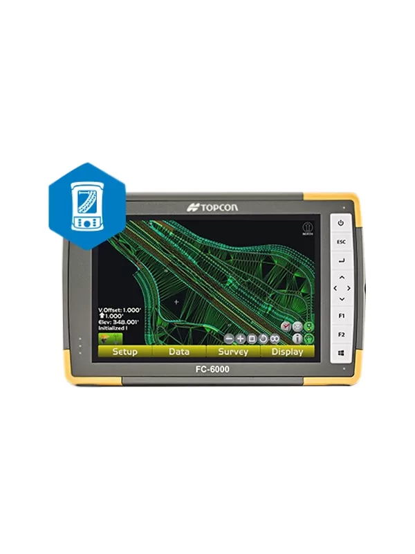
TOPCON POCKET 3D
- User interface easy to learn and use
- Deliver files directly to 3D equipped machines
- Stake out any features in the design
- Topo or auto-topo surfaces and calculate volumes
- Collect as-built data as points, lines, surfaces or volumes
- Compatible with all Topcon GNSS receivers and robotic systems
Three dimensional grade management made easy
Pocket 3D puts the power of GNSS-based site management in the hands of contractors, making it easy to verify grades, calculate volumes and survey any area on the site. Now you can have the visibility and power to increase productivity across the entire job.
- User interface easy to learn and use
- Deliver files directly to 3D equipped machines
- Stake out any features in the design
- Topo or auto-topo surfaces and calculate volumes
- Collect as-built data as points, lines, surfaces or volumes
- Compatible with all Topcon GNSS receivers and robotic systems
 Home
Home
