TOPCON Building Information Modelling MF
- Intuitive user interface with a short learning curve
- Advanced roading toolset
- Vast library of compatible 2D, 3D and BIM file formats
- Ability to calculate, contour, and compare surfaces
- Surface staking with automatic Digital Terrain Model creation
- Colorized cut-and-fill indicator and volume calculations
- Includes field-to-office cloud connectivity via MAGNET Enterprise
- Microsoft Bing Maps for real-time images behind your points, lines and imported design files
Meet the most complex positioning challenges
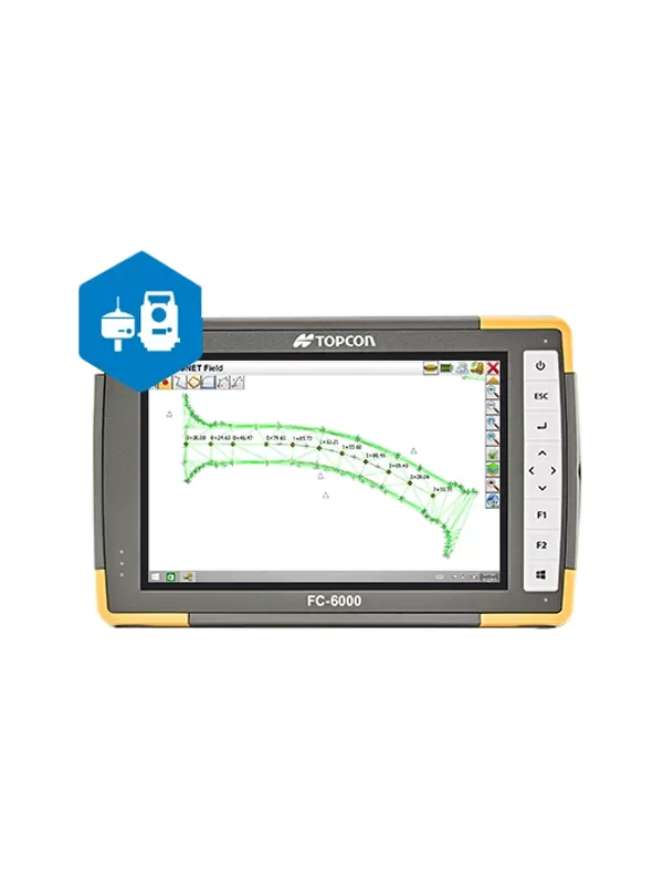
Make every aspect of your projects more connected and productive. MAGNET Field is the engine for our field productivity package and part of a complete field-to-office solution. It’s intuitive, accelerates productivity, increases accuracy, and better connects your project teams.
MAGNET Field is easy to learn and use, yet has the power to solve even the most complex positioning challenges. Surveyors and contractors alike use MAGNET Field to collect points, stake out road and site projects, lay out building components, and perform land surveys.
- Intuitive user interface with a short learning curve
- Advanced roading toolset
- Vast library of compatible 2D, 3D and BIM file formats
- Ability to calculate, contour, and compare surfaces
- Surface staking with automatic Digital Terrain Model creation
- Colorized cut-and-fill indicator and volume calculations
- Includes field-to-office cloud connectivity via MAGNET Enterprise
- Microsoft Bing Maps for real-time images behind your points, lines and imported design files