
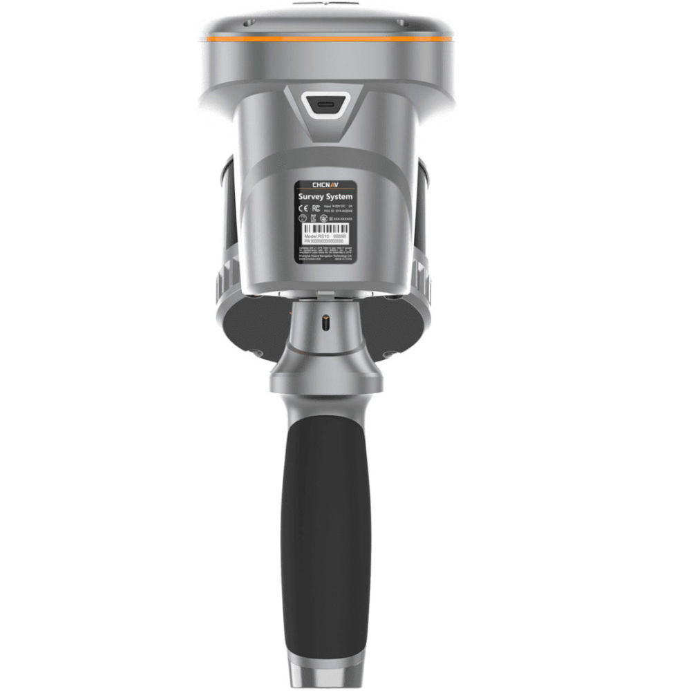
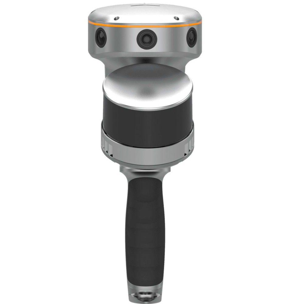


CHCNAV RS10 Handheld SLAM 3D Scanner + GNSS RTK
The CHCNAV RS10 is an innovative surveying device that combines GNSS RTK, laser scanning, and visual SLAM technologies into a single, powerful platform. It is designed for precise 3D scanning and surveying across diverse environments, providing versatility and high accuracy for professionals in industries such as surveying, civil engineering, construction, mining, agriculture, and forestry. The RS10 is particularly effective in challenging environments where GNSS signals are weak or absent, as it utilizes advanced SLAM and LiDAR technologies to maintain precision.
Key Features:
RTK and SLAM Fusion for Enhanced Mapping Accuracy:
- The RS10 integrates CHCNAV’s 4th generation air dielectric GNSS antenna with high-precision LiDAR and three HD cameras, achieving RTK positioning accuracy of better than 3 cm. It delivers absolute measurement accuracy of 5 cm by fusing RTK, laser, and visual SLAM technologies, making it suitable for detailed architectural surveys and complex infrastructure projects.
Real-Time SLAM Capabilities:
- The RS10 is equipped with a powerful onboard processor that enables real-time SLAM, allowing the creation of georeferenced point clouds directly in the field without post-processing. This capability supports mapping large areas up to 13,000 square meters in real-time, providing immediate feedback and enabling adjustments to ensure complete and detailed scan coverage.
Efficient Loop-Free Workflow:
- By integrating high-precision GNSS and SLAM technologies, the RS10 eliminates the need for traditional loop closure, simplifies data collection and significantly reduces the time and effort required to complete projects.
Seamless Outdoor and Indoor Mapping:
- The RS10 allows for seamless transitions between outdoor and indoor environments using the same coordinate system, with users able to select the desired CS directly in the field. This ensures consistent and accurate data collection in both settings.
SFix Technology – Precision Without Satellites:
- In areas with weak or no GNSS signals, the RS10 utilizes SFix technology to calculate accurate RTK point coordinates from its LiDAR and visual SLAM data, ensuring a precision of 5 cm within 1 minute without satellite signals. This feature is particularly useful for indoor spaces and urban canyons.
Vi-LiDAR Technology for Contactless Measurements:
- The RS10 combines GNSS rover capabilities with laser scanning for contactless offset measurements. By selecting the point to be measured in the LandStar™ software, the RS10 calculates three-dimensional coordinates with an accuracy of 5 cm within 15 meters, making it ideal for complex environments.
The RS10 revolutionizes geospatial surveying by integrating GNSS RTK, laser scanning, and visual SLAM technologies into a single platform. It enhances the efficiency and accuracy of both indoor and outdoor 3D scanning and surveying tasks, providing a versatile solution for professionals in surveying, civil engineering, and BIM, as well as for applications such as agricultural and forestry surveying, power line inspection, material pile volume calculation, and underground space data collection.
The RS10’s ability to perform in environments with poor or no GNSS signals offers unparalleled flexibility and accuracy. It supports both traditional GNSS RTK surveying and innovative 3D reality capture, making it a vital tool for modern surveyors looking to simplify fieldwork and improve data reliability.
Applications:
- Architectural and Structural Surveys
- Civil Engineering and Construction
- BIM (Building Information Modeling)
- Mining and Quarrying
- Agricultural and Forestry Surveying
- Power Line and Utility Inspection
- Material Pile Volume Calculation
- Underground Space Data Collection
- Urban Planning and Smart City Development
- Heritage and Archaeological Documentation


Reviews
There are no reviews yet.