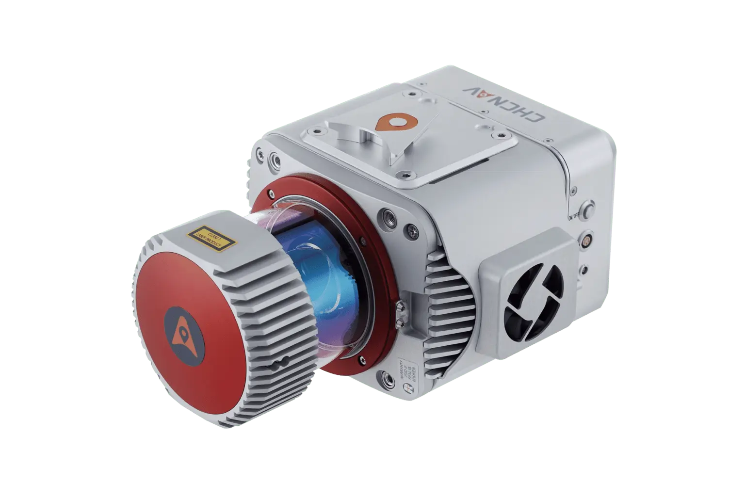
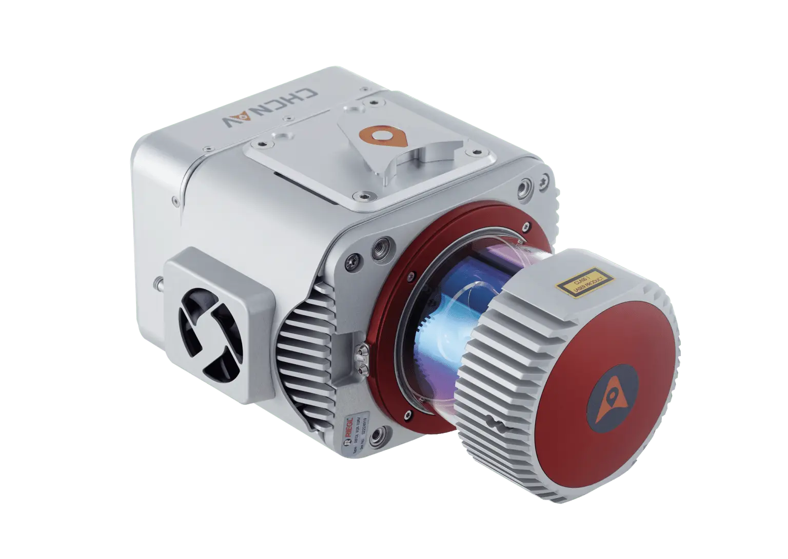

CHCNAV AlphaUni 1300 Long Range LiDar
The AlphaUni 1300 by CHCNAV is a premium, ultra-long-range LiDAR system designed for high-end surveying and mapping applications that require the utmost accuracy and extended range. This advanced system integrates Riegl’s VUX-1 LR laser scanner, renowned for its long-range capabilities, along with state-of-the-art GNSS and IMU sensors. With a scanning range of up to 1845 meters, the AlphaUni 1300 is perfectly suited for large-scale, high-altitude data collection missions.
Key Features:
Ultra Long Scanning Range:
- The AlphaUni 1300 offers an impressive scanning range of up to 1845 meters, making it ideal for applications that demand precise data collection over extensive areas.
Exceptional Survey-Grade Accuracy:
- The system combines high-end GNSS and IMU sensors to deliver the highest level of precision, ensuring that all data collected meets the stringent requirements of survey-grade projects.
Multi-Platform Compatibility:
- The AlphaUni 1300 can be easily installed on various platforms, including UAVs, fixed-wing and multi-rotor VTOLs, vehicles, and backpacks. This versatility allows for seamless data collection across different terrains and environments.
Rapid Deployment:
- The system is designed for quick setup, allowing users to switch between platforms in just 5 minutes, which enhances operational efficiency.
Advanced Sensor Integration:
- The AlphaUni 1300 supports synchronization with additional sensors such as DMI, GAMS (dual GNSS antenna), and various imaging devices, ensuring a comprehensive and flexible data acquisition process.
Sophisticated 3D Point Cloud Processing:
- The included CoPre software facilitates advanced pre-processing of LiDAR data, while CoProcess software provides powerful post-processing capabilities, including DEM/DTM generation, automated feature extraction, and dedicated modules for specific applications like power line and road inspection.
Applications:
The AlphaUni 1300 is designed for professionals who require high-precision, long-range data acquisition in industries such as:
Surveying & Engineering: Large-scale topographic surveys, infrastructure monitoring, and complex mapping projects.
Mapping & Geospatial: Detailed urban mapping, environmental studies, and land use planning.
Infrastructure: Comprehensive road, highway, and asset management, as well as infrastructure inspections.
Marine Construction: Coastal mapping, seabed analysis, and other underwater surveying tasks.
Precision Agriculture: Extensive field mapping, crop health monitoring, and agricultural planning.
Navigation & Positioning: Advanced GNSS-based positioning and navigation systems.
The AlphaUni 1300 stands out as an ultra-long-range LiDAR solution that offers unmatched precision and flexibility, making it the go-to choice for demanding surveying and mapping projects.
The AlphaUni 1300 is designed for high-end applications requiring long-range LiDAR scanning, including demanding surveying missions, mapping & geospatial tasks, infrastructure monitoring, and more. It offers exceptional performance in data collection across various challenging environments and ensures high precision for large-area mapping projects.


Reviews
There are no reviews yet.