
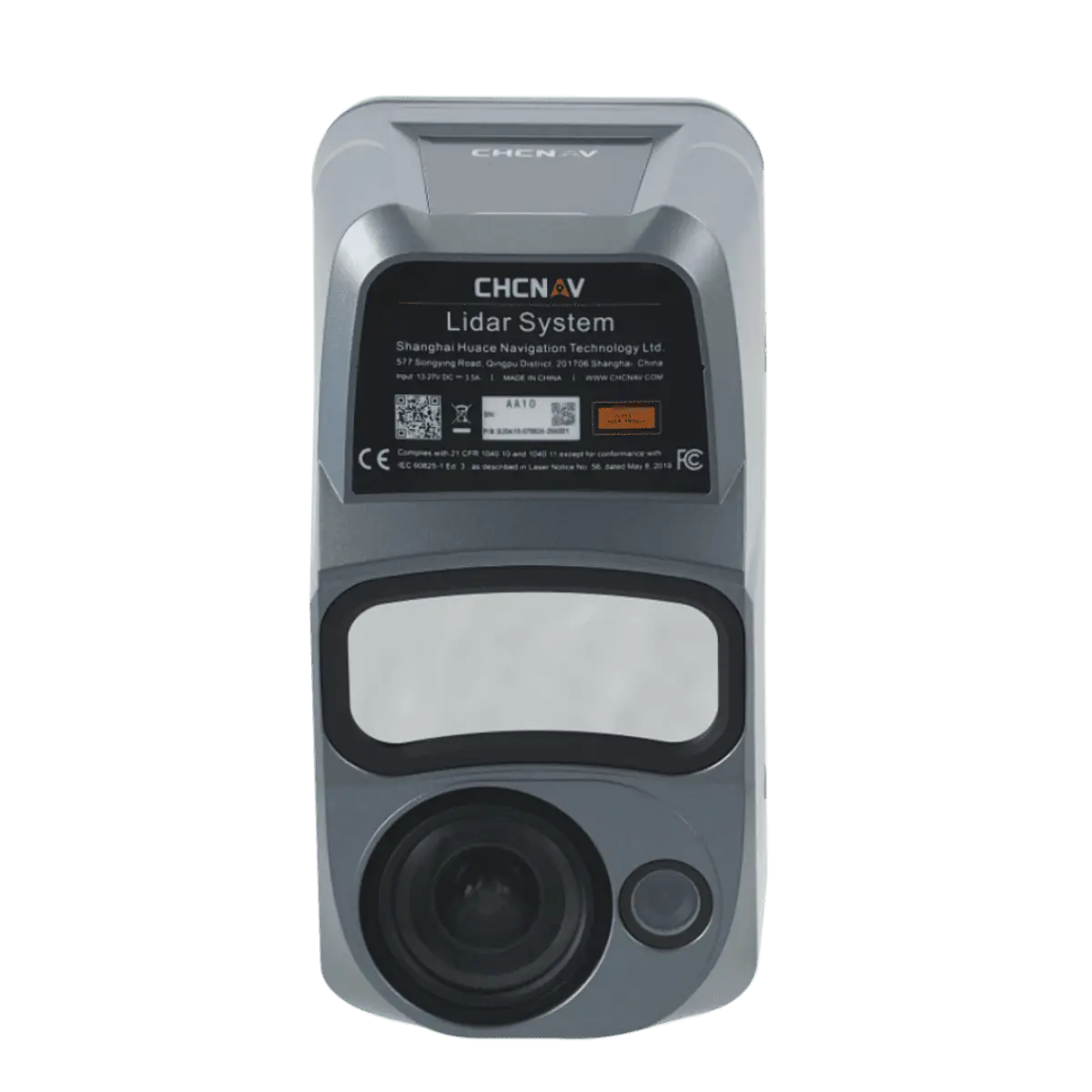

CHCNAV AlphaAir 10 (AA10) Airborne LiDAR + RGB System
The AlphaAir 10 (AA10) is an advanced airborne surveying solution developed by CHCNAV. It seamlessly integrates high-precision LiDAR and RGB sensors, providing a cost-effective and efficient approach to UAV LiDAR mapping and drone photogrammetry. The AA10 excels in 3D data acquisition and processing by combining precise LiDAR technology, accurate GNSS positioning, IMU orientation, and a full-frame orthophoto camera, making it ideal for professional surveying applications.
Key Features:
Outstanding Accuracy:
- High-precision navigation algorithm
- 5 mm repeated ranging accuracy
- 2 to 5 cm absolute accuracy in complex environments
Multi-Platform Design:
- Mountable on various UAVs, including CHCNAV BB4, DJI Matrice, and third-party drones
- Lightweight and compact (1.55 kg)
Strong Vegetation Penetration:
- Multi-target capability with up to 8 target echoes
- Effective in generating accurate DEMs and DSMs in dense vegetation
Premium Laser:
- Long-range survey capabilities up to 800 meters
- High-speed scanning at 500,000 points per second
- Scan speeds up to 250 scans per second
Industrial Reliability:
- IP64-rating for resilience in varying operating conditions
- Consistent performance under unexpected weather and site conditions
Highly Integrated:
- Quick and easy installation with Alphaport’s one-click connection
- Powered by a 45 MP orthographic internal camera
Efficient Workflow:
- SmartGo software for automated reality capture and real-time mission monitoring
- CoPre and CoProcess software for intelligent point cloud processing
The AlphaAir 10 (AA10) by CHCNAV is a revolutionary airborne LiDAR solution, offering high accuracy, flexibility, and efficient data capture capabilities. Designed for UAV integration, the AA10 is ideal for professional geomatics applications, providing superior data quality and detailed point clouds, even in challenging environments with dense vegetation. Its lightweight and compact design, coupled with easy installation, makes the AA10 a versatile tool for 3D data acquisition.
Applications:
The AA10 is designed for a wide range of professional surveying applications, including UAV LiDAR mapping and drone photogrammetry. Its high-precision LiDAR and RGB integration make it ideal for capturing detailed 3D reality, creating accurate DEMs and DSMs, and generating high-resolution Digital Orthomosaic (DOM) outputs. The AA10 is particularly effective in dense vegetation environments, making it suitable for forestry, agriculture, and environmental monitoring.


Reviews
There are no reviews yet.