
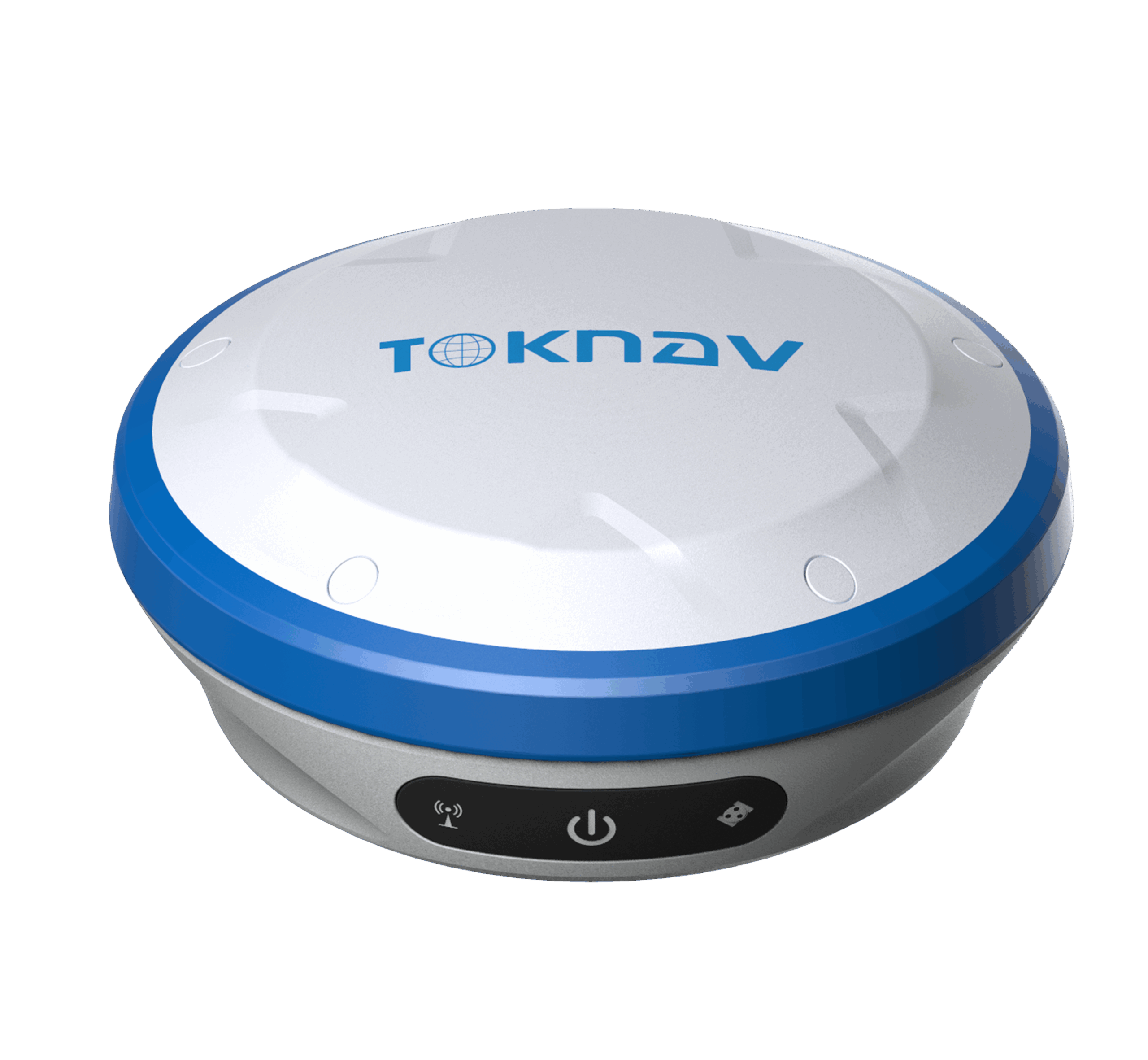
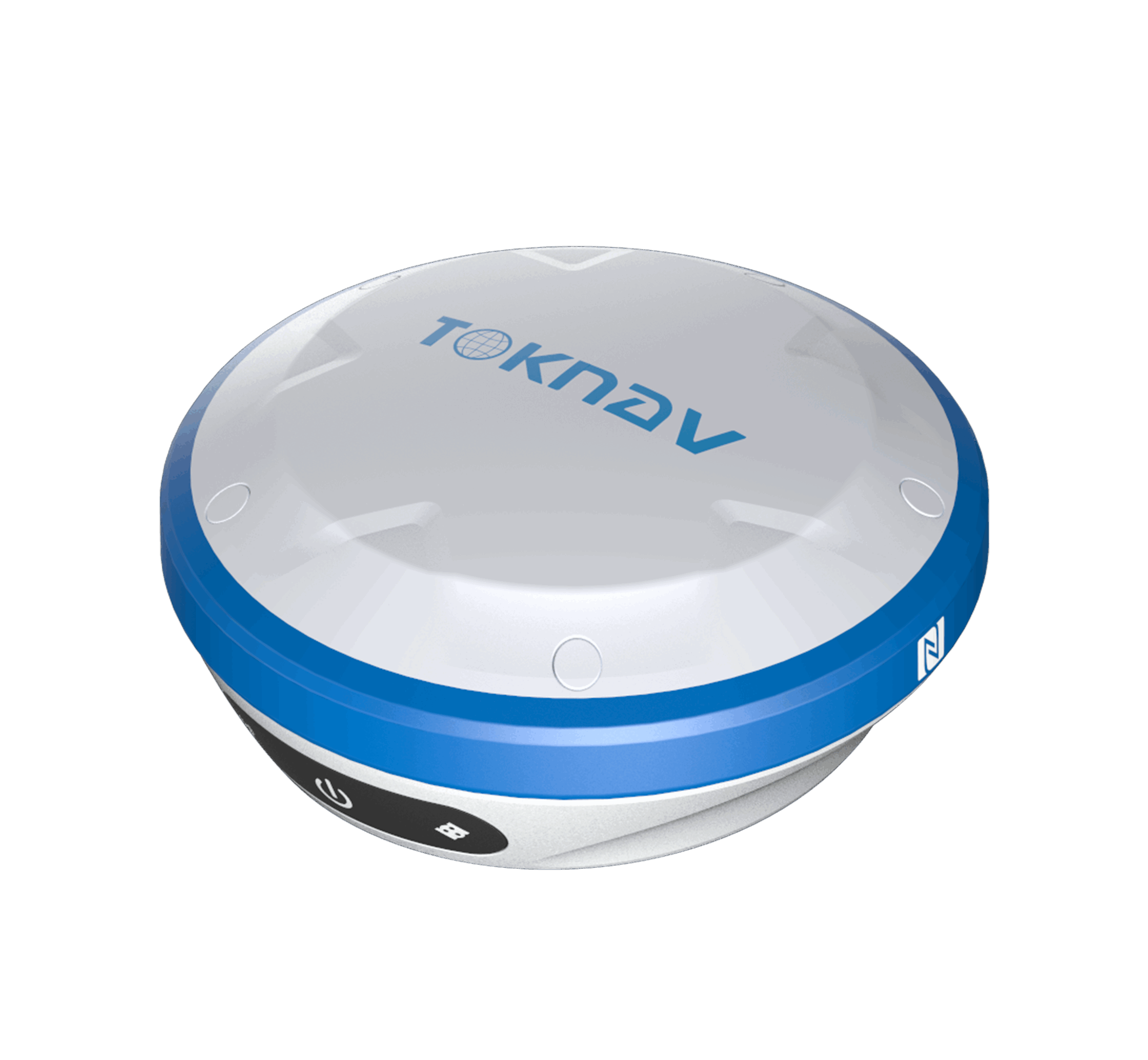

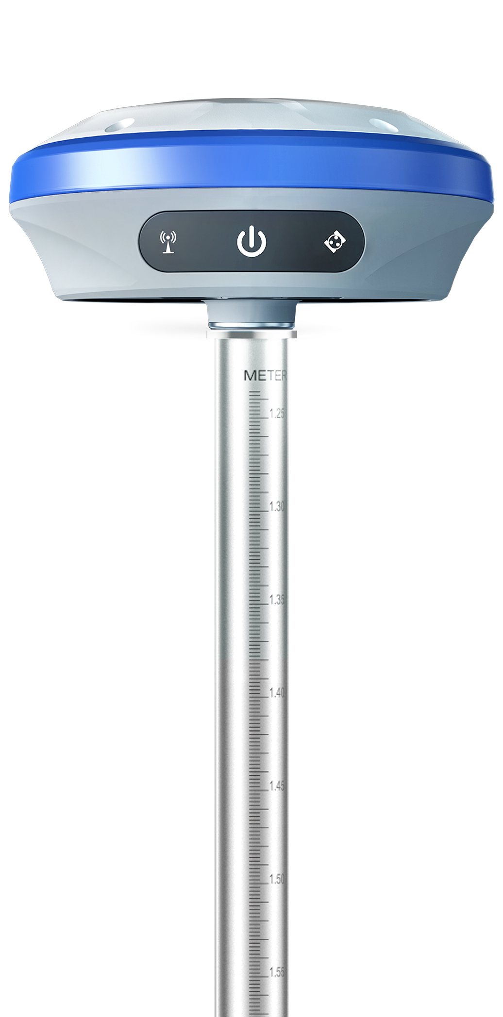
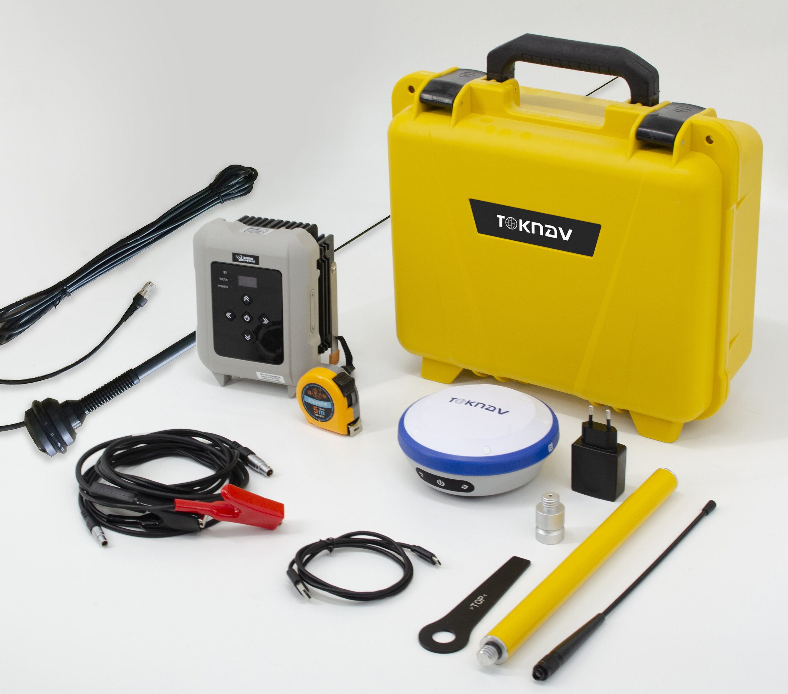

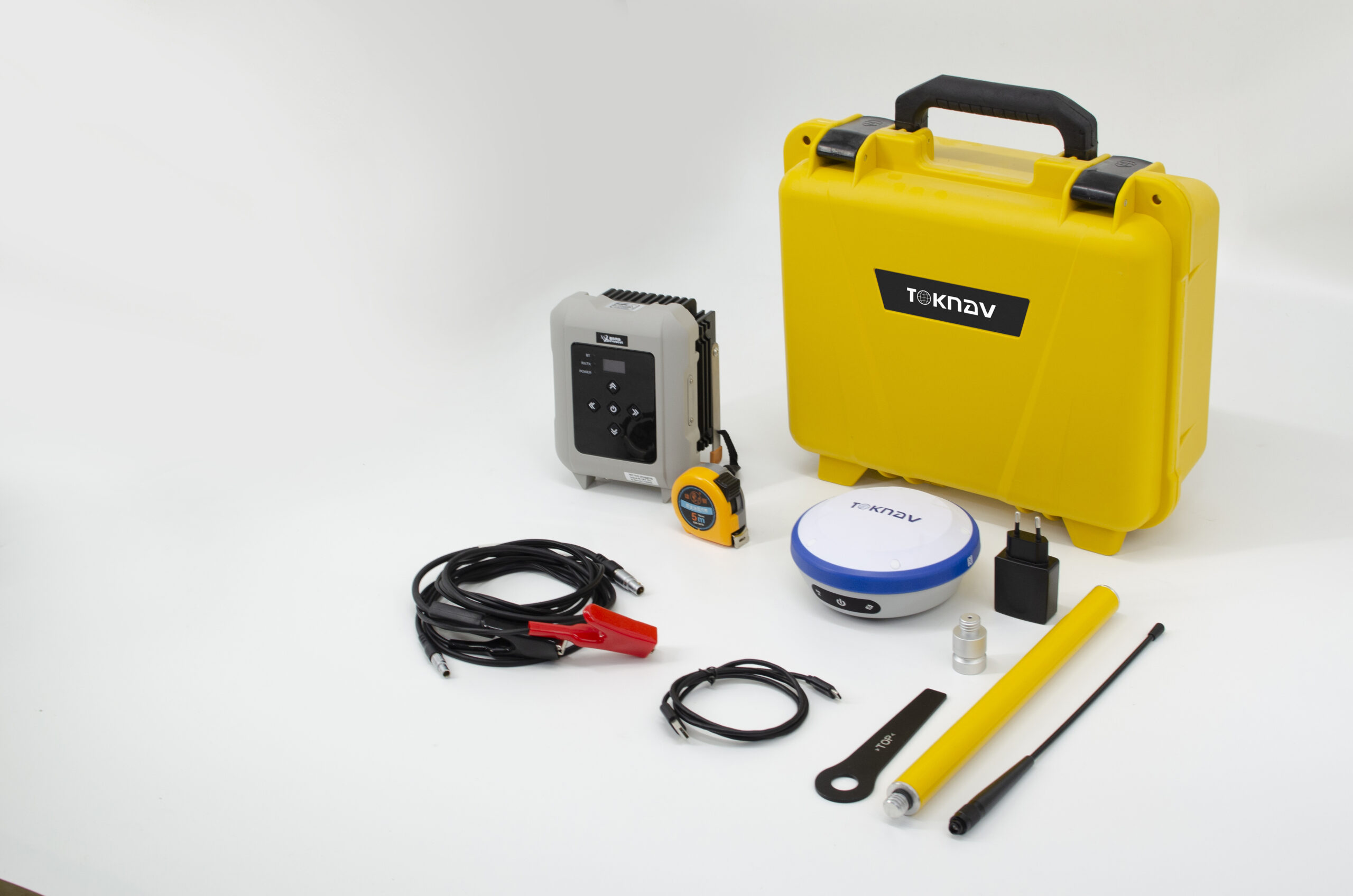
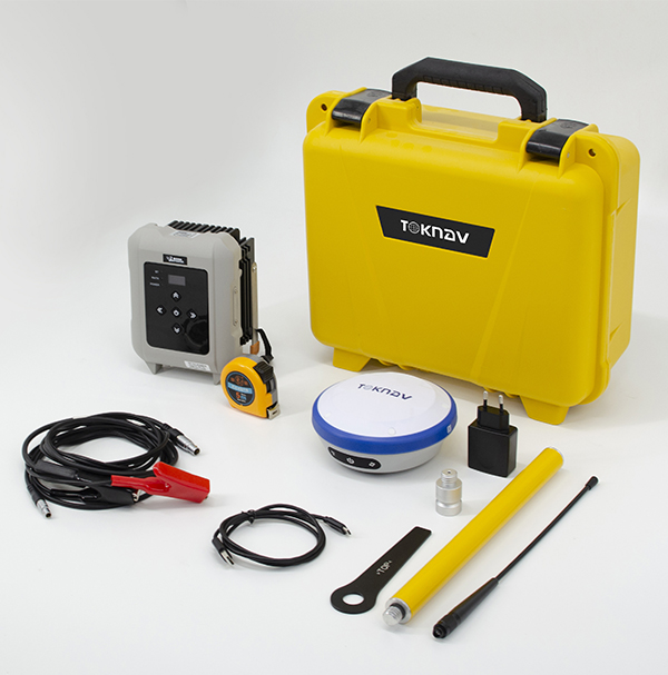
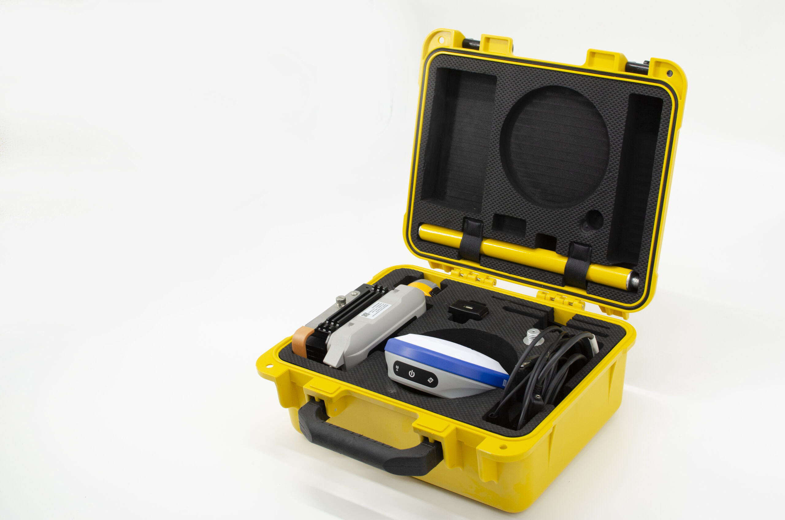
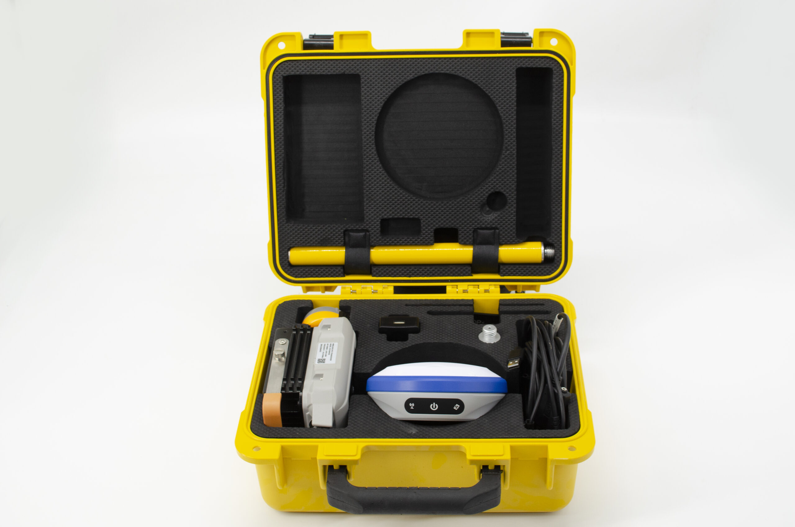

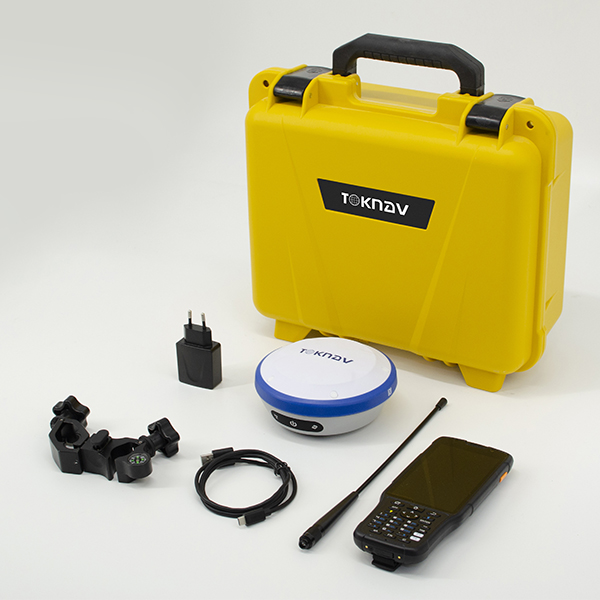


Toknav T10Pro GNSS Receiver – Compact and Intelligent RTK Solution
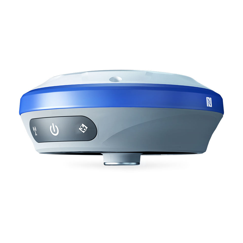
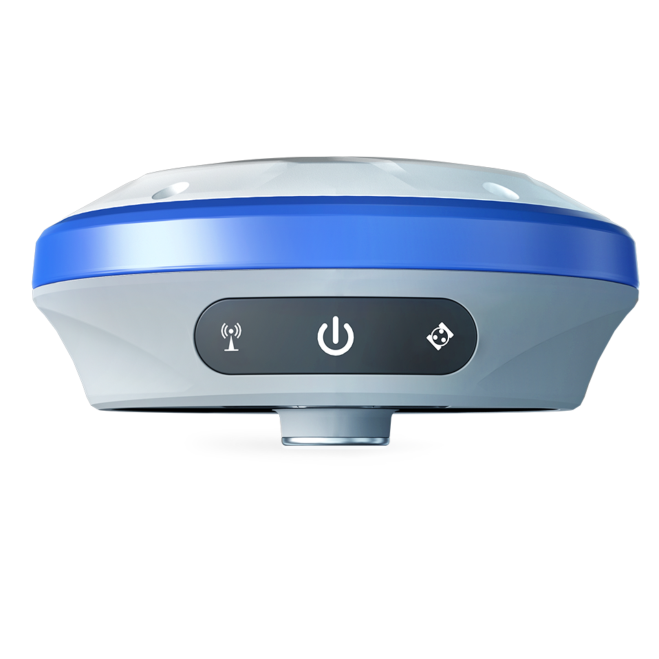
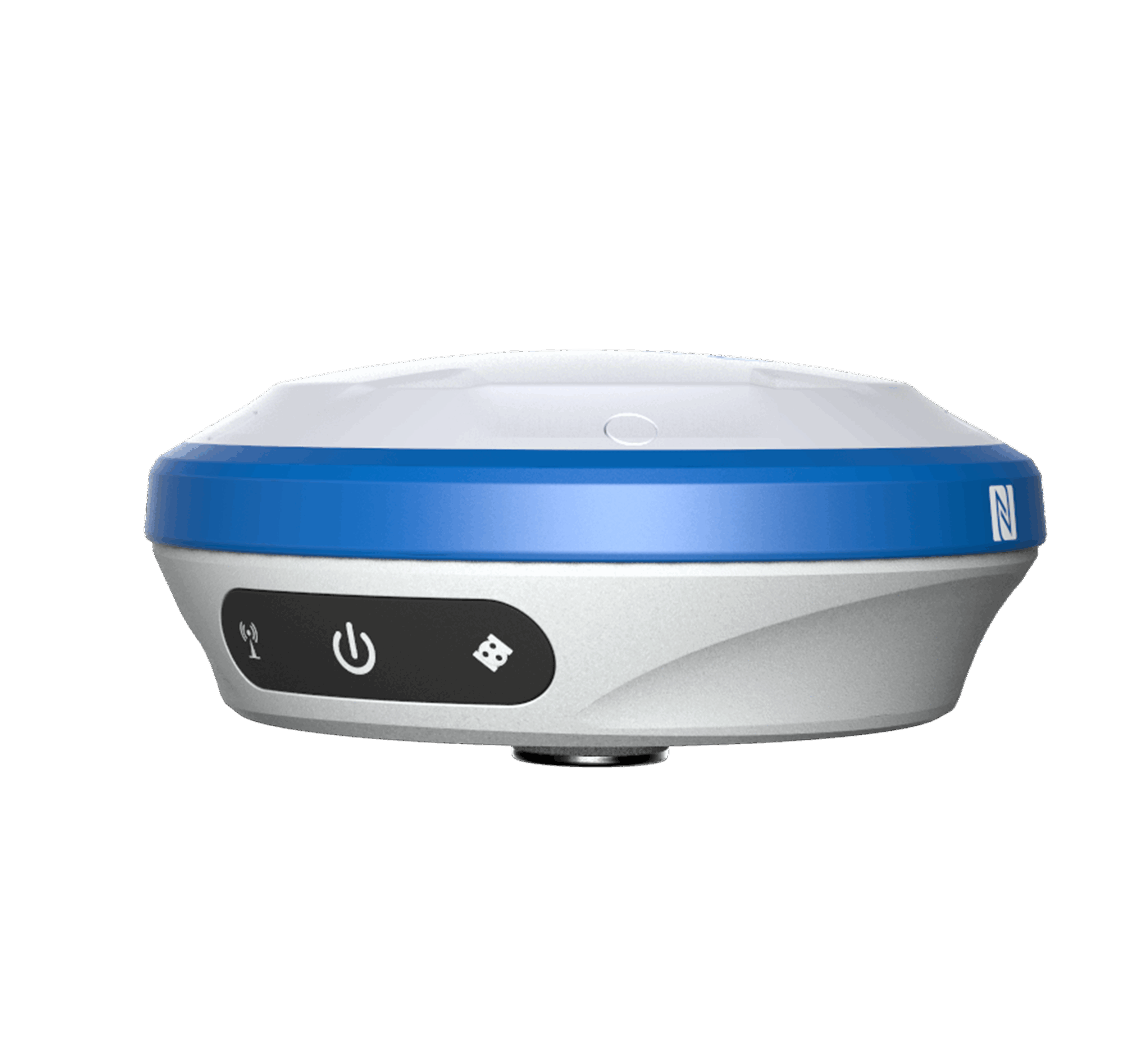
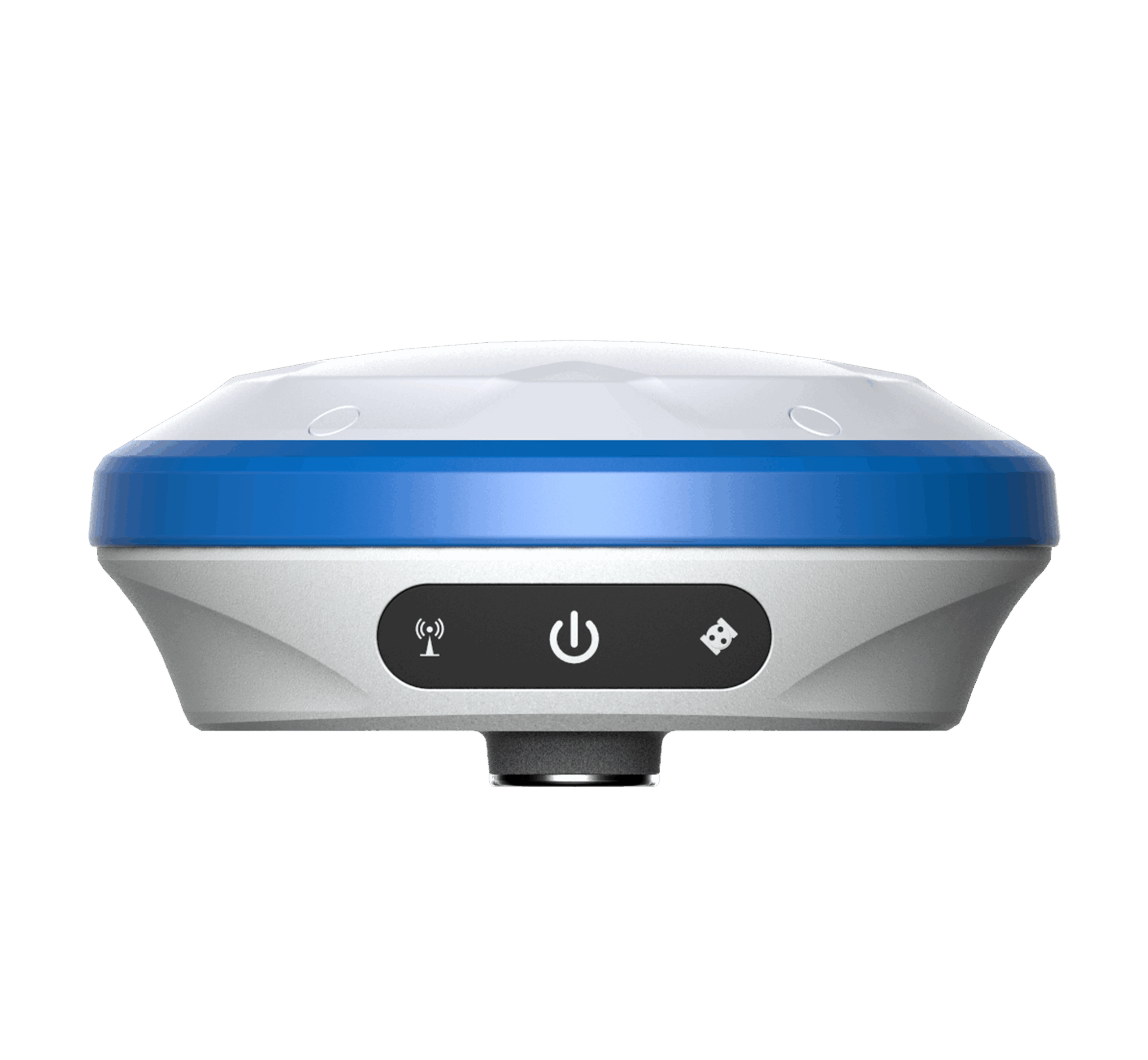
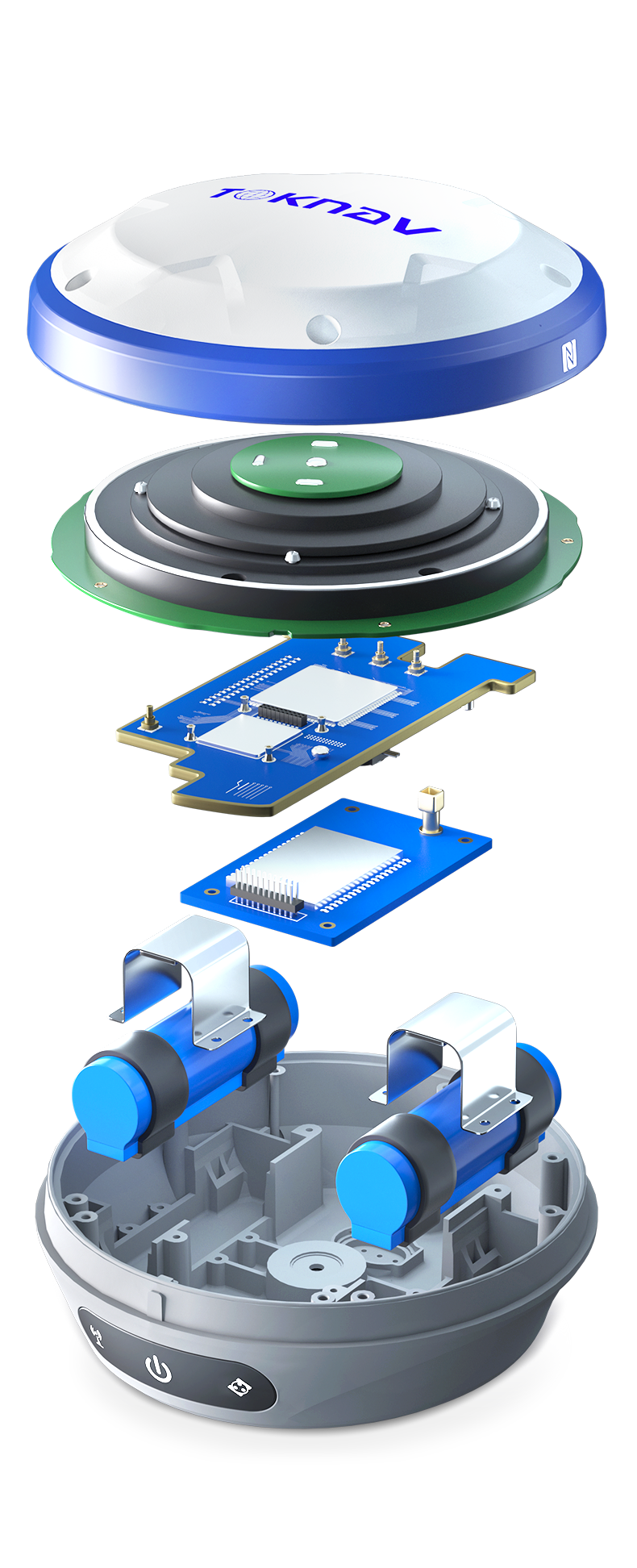
The Toknav T10Pro GNSS Receiver is a state-of-the-art, portable, and multifunctional GNSS solution engineered for precision and reliability. Equipped with an ARM Cortex-A7 processor and a robust Linux operating system, the T10Pro supports multi-constellation tracking (GPS, GLONASS, BDS, GALILEO, QZSS, SBAS, and IRNSS), delivering real-time positioning accuracy even in challenging environments. Its IMU tilt compensation allows for accurate measurements at up to 60° inclination, while the integrated 4G modem, Bluetooth, and Wi-Fi ensure seamless communication. The magnesium alloy structure with an IP68 rating guarantees durability, making it ideal for fieldwork in harsh conditions.
Key Features of Toknav T10Pro GNSS Receiver
Multi-Constellation GNSS Support: Tracks GPS, GLONASS, BDS, GALILEO, QZSS, SBAS, and IRNSS for enhanced global coverage.
IMU Tilt Compensation: Supports tilt measurements up to 60° for precise data collection.
Long Battery Life: Built-in 9600mAh lithium battery provides 16+ hours of continuous operation.
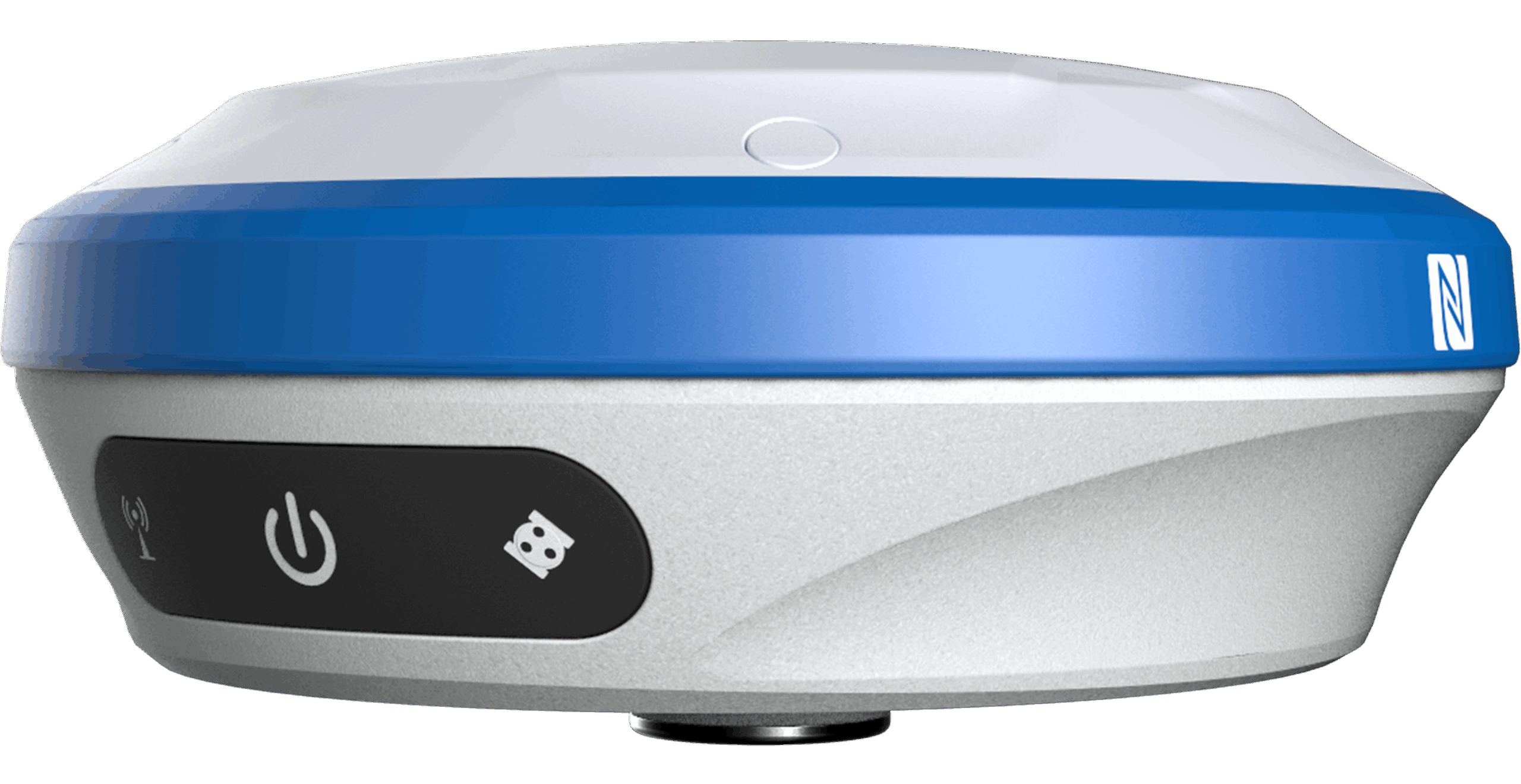
4G Modem & Wi-Fi Connectivity: Integrated 4G modem guarantees fast internet connection and data transfer.
Rugged Magnesium Alloy Design: Lightweight, robust, and IP68-certified for water and dust protection.
Four-in-One Antenna: Combines GNSS, Wi-Fi, Bluetooth, and 4G in a compact design.
Fast Initialization & Reacquisition: <30s cold start and <1s reacquisition time for quick deployment.
32GB Internal Storage: Sufficient storage for data logging and field operations.
Real-Time Data Transmission: Supports RTCM 2.X, RTCM 3.X protocols for seamless data communication.
Applications of the Toknav T10Pro GNSS Receiver
Land Surveying: Achieve high-precision measurements with tilt compensation and multi-constellation support.
Construction Layout: Perform fast and accurate stakeouts with real-time corrections.
Mapping & GIS: Collect precise geospatial data for asset mapping and GIS projects.
Agricultural Surveying: Efficiently measure land boundaries and optimize resource management.
Infrastructure Monitoring: Monitor and survey infrastructure with high accuracy and reliability.
Environmental Management: Survey land changes and protected areas with confidence.


Reviews
There are no reviews yet.