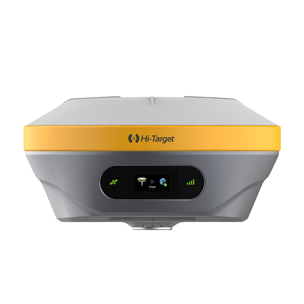
Hi-Target iRTK4 GNSS RTK System
The Hi-Target iRTK4 GNSS RTK System is a full-featured, intelligent GNSS receiver designed to deliver high-precision positioning in a wide range of field applications. With its advanced multi-channel GNSS engine, calibration-free tilt compensation, and smart base-rover pairing technology, the iRTK4 simplifies complex surveying tasks while maintaining reliable performance in challenging environments. Whether you are working on surveying, mapping, or construction projects, the iRTK4 is engineered to maximize productivity and ensure accurate results.
Key Features:
Next-Generation GNSS Engine
The iRTK4 is powered by a multi-channel GNSS engine that supports 800+ channels and is capable of tracking all major constellations, including GPS, GLONASS, BeiDou, Galileo, QZSS, and IRNSS. This multi-frequency capability ensures that the iRTK4 provides fast and reliable positioning, even in limited satellite visibility. The receiver offers 2.5mm + 0.1ppm horizontal accuracy and 3.5mm + 0.4ppm vertical accuracy, making it a top choice for professionals who require centimeter-level precision.
Calibration-Free Tilt Compensation
The iRTK4 is equipped with IMU-powered tilt compensation technology, allowing surveyors to collect accurate data without leveling the pole. This feature boosts efficiency by up to 20%, enabling users to measure points quickly, even in difficult-to-access locations. The tilt compensation maintains accuracy within 3cm at up to a 60° inclination, making it ideal for complex surveying scenarios.
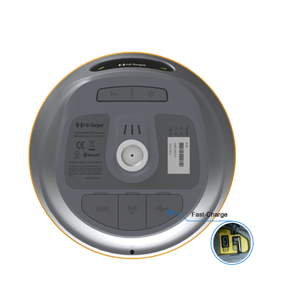
Smart Base and Auto Pairing
The iRTK4 features Smart Base functionality, which automatically pairs the rover and base using Hi-Target’s global service network. This ensures seamless communication between devices, extends the working range, and saves time during setup. With auto-pairing and auto-setting capabilities, the iRTK4 simplifies field operations, allowing users to focus on data collection rather than configuration.
Hi-Fix Technology
Hi-Fix technology ensures continuous RTK coverage during correction outages from an RTK base station or VRS network. This feature minimizes downtime in the field by maintaining accurate positioning, even during brief interruptions in communication.
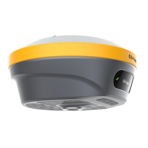
Durable and Reliable Design
The iRTK4 is built to withstand tough conditions, featuring an IP68 rating for water and dust resistance. The receiver is MIL-STD-810G compliant, ensuring durability against shock, vibration, and extreme weather. With the ability to operate in temperatures ranging from -30°C to +70°C, the iRTK4 is suitable for use in a wide variety of climates and environments
Accessories for Hi-Target iRTK4 GNSS RTK System
The Hi-Target iRTK4 comes with a range of essential accessories that enhance its performance and usability in the field.
Standard Accessories:
Rechargeable Battery: Provides up to 10 hours of operation, ensuring the iRTK4 stays powered during extended field sessions.
Battery Charger: Efficient charging system to keep the receiver ready for continuous use.
Carrying Case: Rugged case for safe transport and storage of the iRTK4 system.
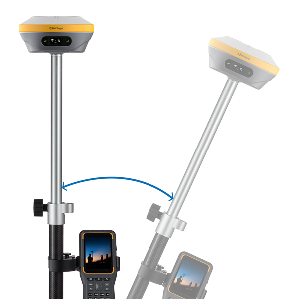
Pole Mount: Secure mounting bracket for attaching the iRTK4 to survey poles for accurate measurements.
Antenna: Enhances satellite signal reception for improved positioning accuracy.
Optional Accessories:
External UHF Radio Module: Extends communication range for larger-scale surveys in remote areas.
Tripods and Mounting Poles: Provides stable mounting solutions for a wide range of field applications.
Data Collectors: Advanced handheld controllers for efficient data management and real-time processing.
Applications of Hi-Target iRTK4 GNSS RTK System
The iRTK4 GNSS RTK System is versatile and suitable for a wide range of professional applications, delivering high-precision data for industries such as surveying, construction, and environmental studies.
1. Land Surveying and Topographic Mapping:
The iRTK4 provides highly accurate GNSS data for land surveyors, making it perfect for boundary mapping, topographic surveys, and land subdivision.
2. Construction Layout and Engineering:
The iRTK4 simplifies construction layout tasks, such as foundation staking and infrastructure alignment. Its tilt compensation and durable design make it easy to use in challenging environments.
3. Environmental and Agricultural Surveys:
The iRTK4 supports environmental monitoring and agricultural planning by delivering precise data for land-use studies, crop management, and resource assessments.
4. Utility and Infrastructure Development:
Engineers and planners can rely on the iRTK4 for utility installations, road construction, and other infrastructure development projects, ensuring accurate data collection and efficient project execution.
5. Mining and Resource Management:
The iRTK4’s high precision and rugged construction make it a valuable tool for mining operations, enabling accurate resource management and site mapping in demanding conditions.
The Hi-Target iRTK4 GNSS RTK System combines advanced technology, exceptional accuracy, and rugged durability, making it a top choice for professionals who require reliable GNSS performance in the field. With its comprehensive accessory options, wide range of applications, and powerful features, the iRTK4 delivers the accuracy and efficiency needed to tackle the most challenging surveying tasks.


Reviews
There are no reviews yet.