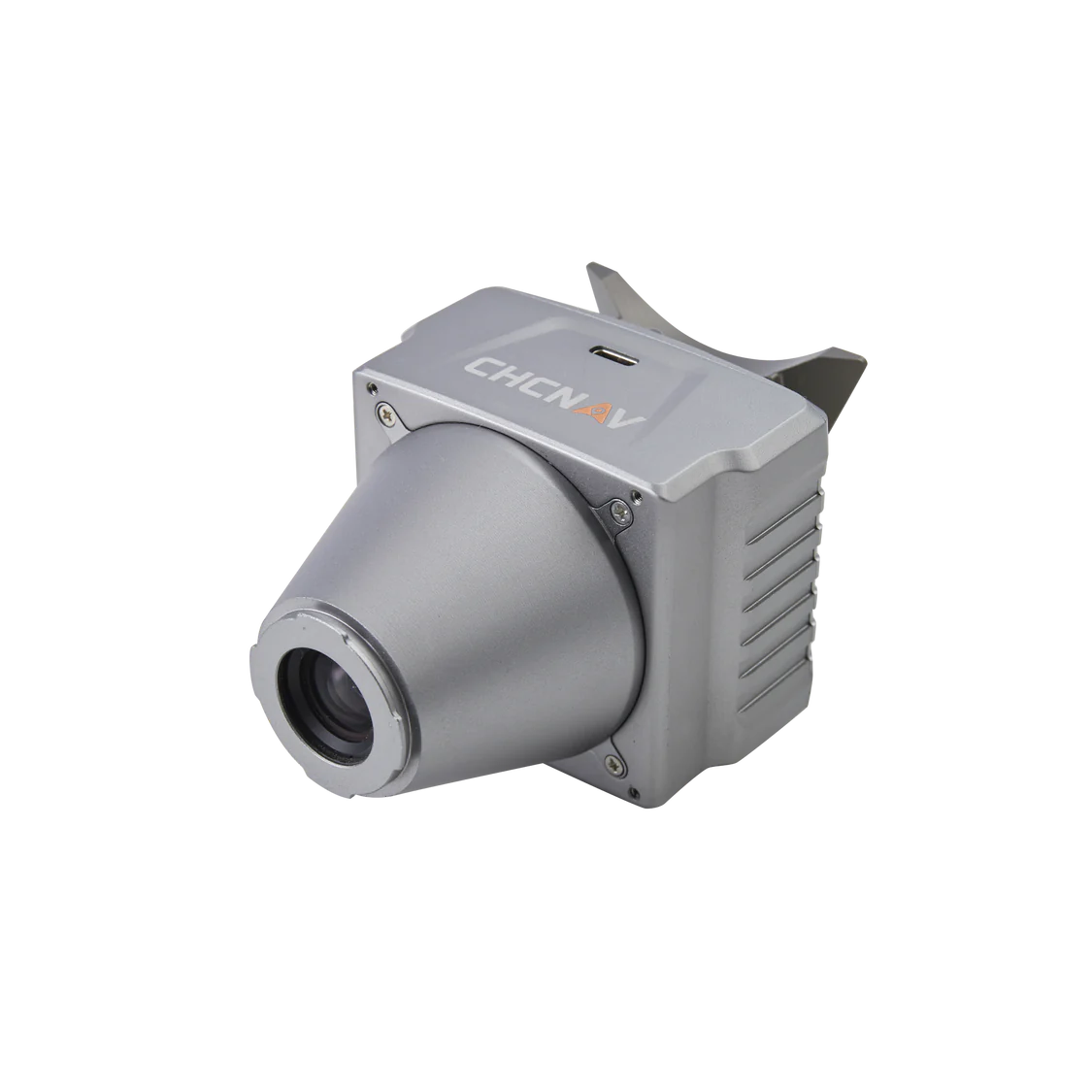
CHCNAV C5 Aerial Survey Camera
The CHCNAV C5 aerial survey camera is engineered to deliver top-tier imaging solutions for photogrammetric applications, ensuring seamless integration with LiDAR survey data. Its lightweight and compact design, coupled with universal installation capabilities, make it an excellent choice for various UAV platforms, enhancing the accuracy and detail of aerial surveys.
Key Features:
Lightweight & Compact Design:
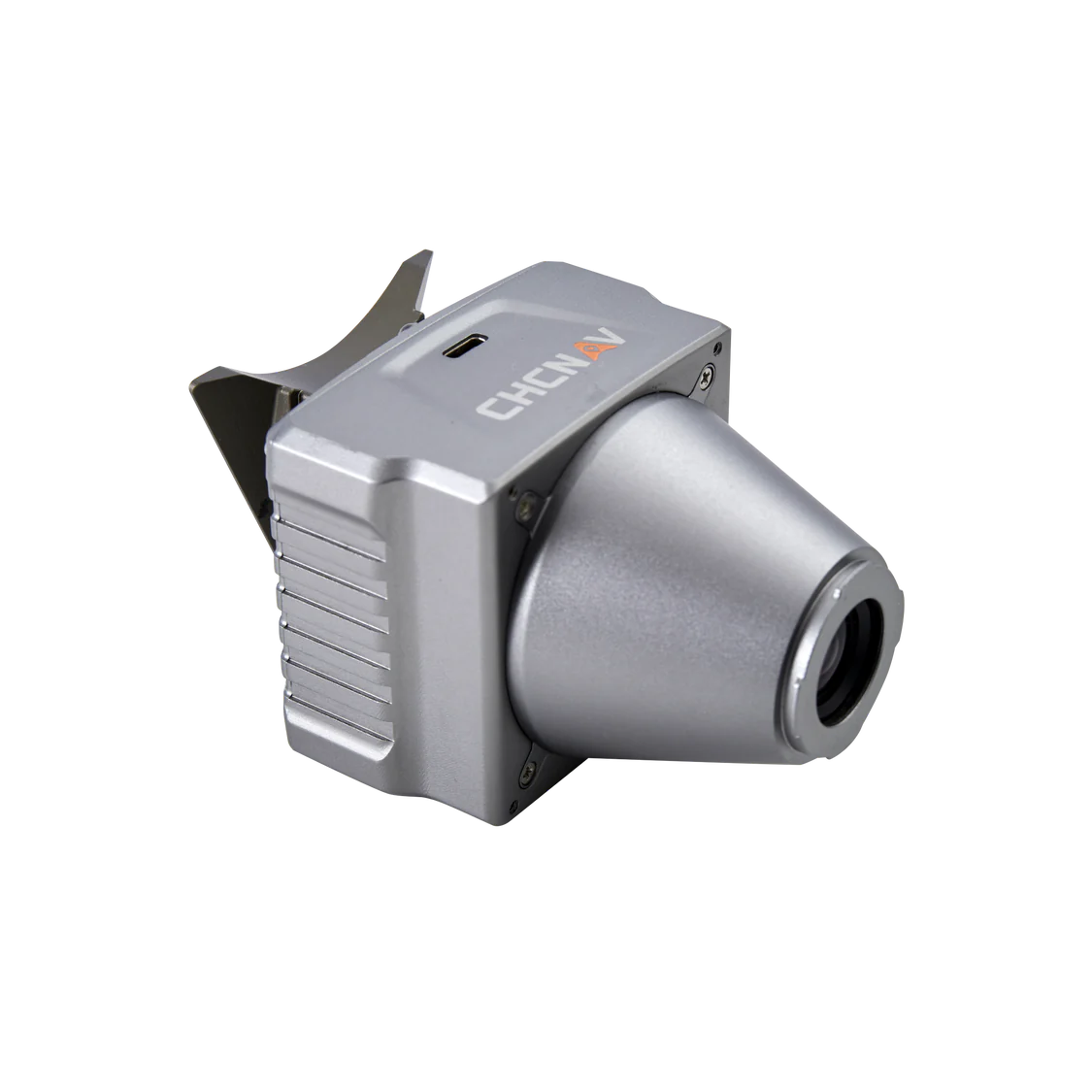
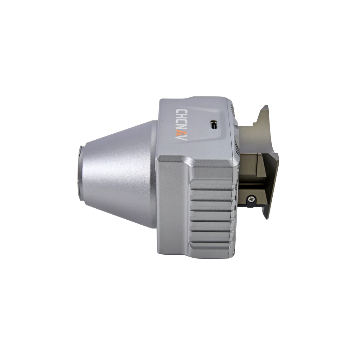
- The C5 camera weighs just 290 grams with dimensions of 75 x 63.5 x 102.5 mm, making it perfect for UAVs that require minimal payloads while maximizing flight endurance.
Universal Installation:
- The C5 is designed for easy integration with a wide range of UAV platforms, including fixed-wing and rotor UAVs.
It is compatible with CHCNAV’s BB4 Mini and P330 Pro drones, as well as DJI’s M300 RTK.
The Alpha port interface allows for quick, secure mounting, with options for converting to DJI Skyport compatibility
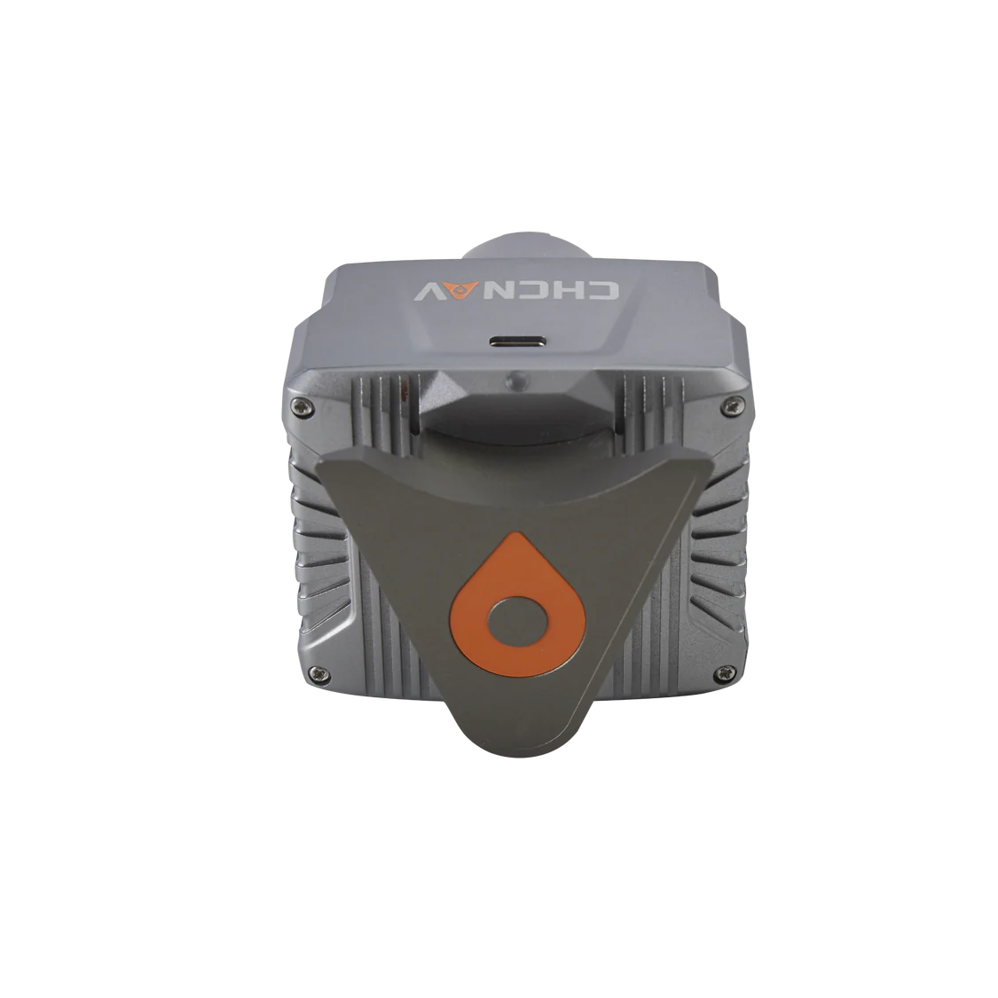
Integrated Quick-Release Interface:
- Alphaport offers a fast and secure method for attaching and detaching the camera from UAVs, streamlining the workflow and reducing setup time.
The interface includes power and data communication capabilities, minimizing wiring complexity and ensuring stable performance during operations.
Efficient Data Management:
- The C5 camera is equipped with 256 GB of internal memory and features a USB-C connection for data transfer at speeds of up to 80 Mb/s.
This setup ensures efficient and reliable access to large datasets, facilitating quick and easy data transfers without performance issues.
LiDAR Compatibility:
- The C5 camera is designed to work seamlessly with CHCNAV’s LiDAR systems, allowing for the colorization of point cloud data.
This integration enables comprehensive data collection, combining high-resolution imagery with LiDAR for a detailed view of the surveyed area.
Efficient Workflow Integration:
- The CHCNAV CoPre software supports a streamlined field-to-finish solution, processing aerial imagery and LiDAR data captured in a single flight.
The software enhances productivity by enabling the efficient analysis of large volumes of data, resulting in accurate and actionable insights.
Applications:
Orthographic Camera System:
The C5 is designed as an orthographic camera system with a full-frame, fixed-focus lens, which is ideal for generating detailed and accurate orthophotos.
Its low-distortion aerial survey lens increases survey accuracy, delivering reliable and precise results.
The C5 aerial survey camera by CHCNAV is an essential tool for professionals in aerial surveying, offering exceptional flexibility, efficient workflow integration, and compatibility with a broad range of UAV platforms and LiDAR systems. It is specifically designed to enhance the quality and accuracy of photogrammetric surveys, integrating seamlessly with LiDAR data to provide comprehensive aerial data solutions.


Reviews
There are no reviews yet.