
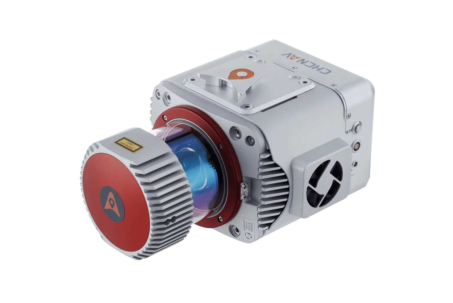
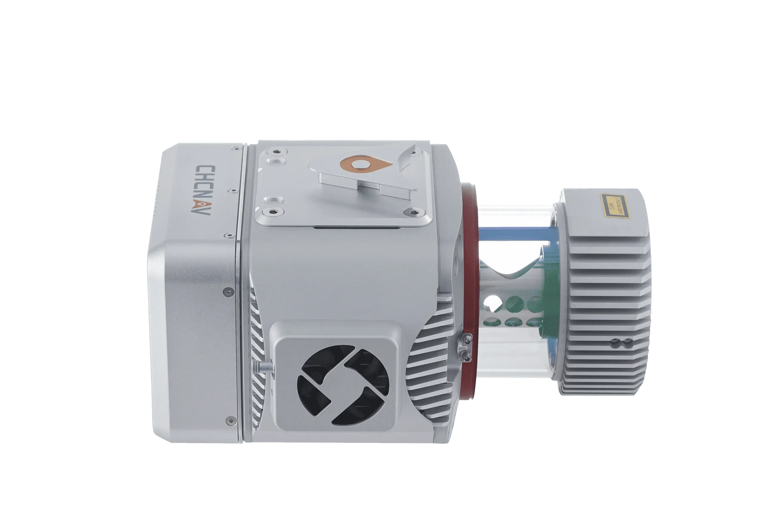
CHCNAV AlphaUni 900 LiDar
The CHCNAV AlphaUni 900 is a top-tier, long-range LiDAR system designed for the most demanding surveying and mapping applications. This advanced solution integrates Riegl’s VUX-1 UAV high-speed laser scanner with industry-leading GNSS and IMU sensors, delivering exceptional accuracy and performance. The AlphaUni 900 is capable of scanning at ranges up to 1415 meters, making it ideal for high-altitude and high-speed data acquisition over large areas.
Key Features:
Extended Scanning Range:
- The AlphaUni 900 offers a scanning range of up to 1415 meters, allowing for precise data collection even in challenging environments.
Survey-Grade Accuracy:
- Equipped with state-of-the-art GNSS and IMU sensors, the AlphaUni 900 ensures the highest level of precision in point cloud data, making it suitable for critical surveying projects.
Versatile Platform Compatibility:
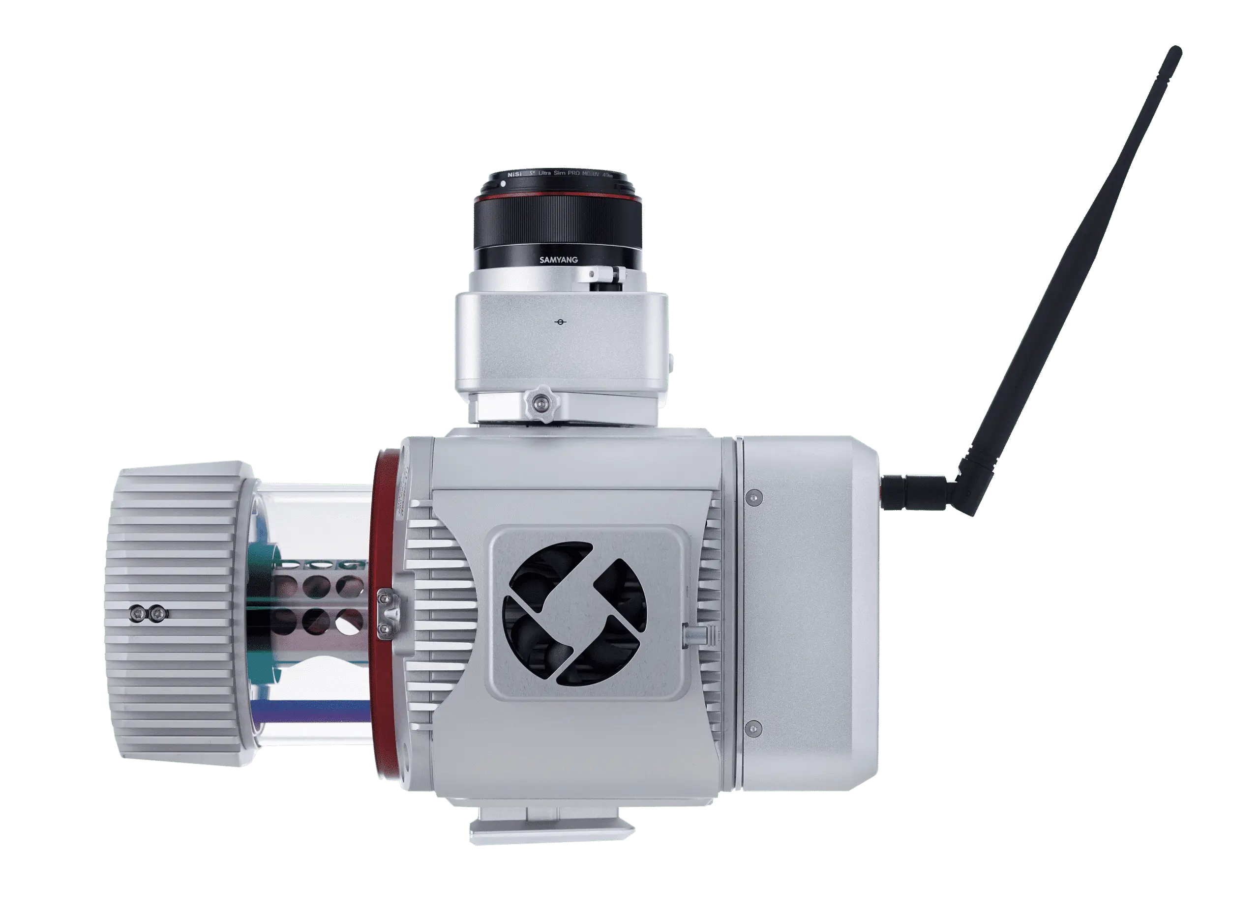
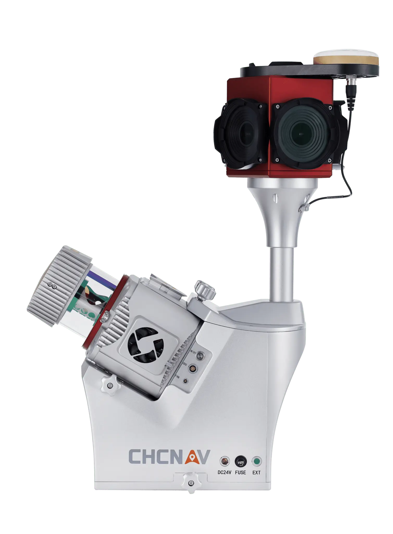
- The system can be quickly mounted on various platforms, including UAVs, fixed-wing and multi-rotor VTOLs, vehicles, and backpacks. This flexibility allows for efficient data collection across diverse terrains and scenarios.
Quick Setup:
- The AlphaUni 900 can be set up on a new platform in just 5 minutes, minimizing downtime and maximizing productivity.
Advanced Connectivity:
- The system supports synchronization with additional sensors such as DMI, GAMS (dual GNSS antenna), and various cameras, ensuring comprehensive data acquisition for complex projects.
Powerful 3D Point Cloud Processing:
- The included CoPre software offers robust pre-processing of LiDAR data, while the CoProcess software provides advanced post-processing capabilities, including DEM/DTM generation and automated feature extraction.
Applications:
The AlphaUni 900 is ideal for industries that require high-precision, long-range data acquisition, including:
Surveying & Engineering: Topographic surveys, infrastructure monitoring, and large-scale mapping.
Mapping & Geospatial: Urban planning, environmental monitoring, and land use analysis.
Infrastructure: Road and highway maintenance, asset management, and detailed inspections.
Marine Construction: Coastal and underwater surveying tasks.
Precision Agriculture: Large-area field mapping and crop health monitoring.
Navigation & Positioning: Advanced GNSS-based navigation solutions.
The AlphaUni 900 is a comprehensive solution for professionals seeking a reliable, high-performance LiDAR system that meets the most demanding surveying and mapping requirements. The AlphaUni 900 is tailored for a wide range of applications including surveying & engineering, mapping & geospatial, infrastructure monitoring, marine construction, precision agriculture, and navigation & positioning. This versatile system ensures precise and efficient data collection for various high-demand scenarios.


Reviews
There are no reviews yet.