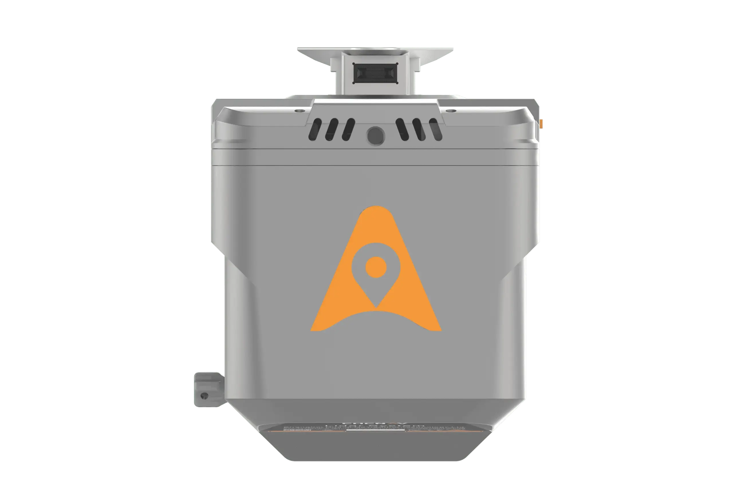
CHCNAV AlphaAir 15 (AA15) Airborne LiDAR Solution
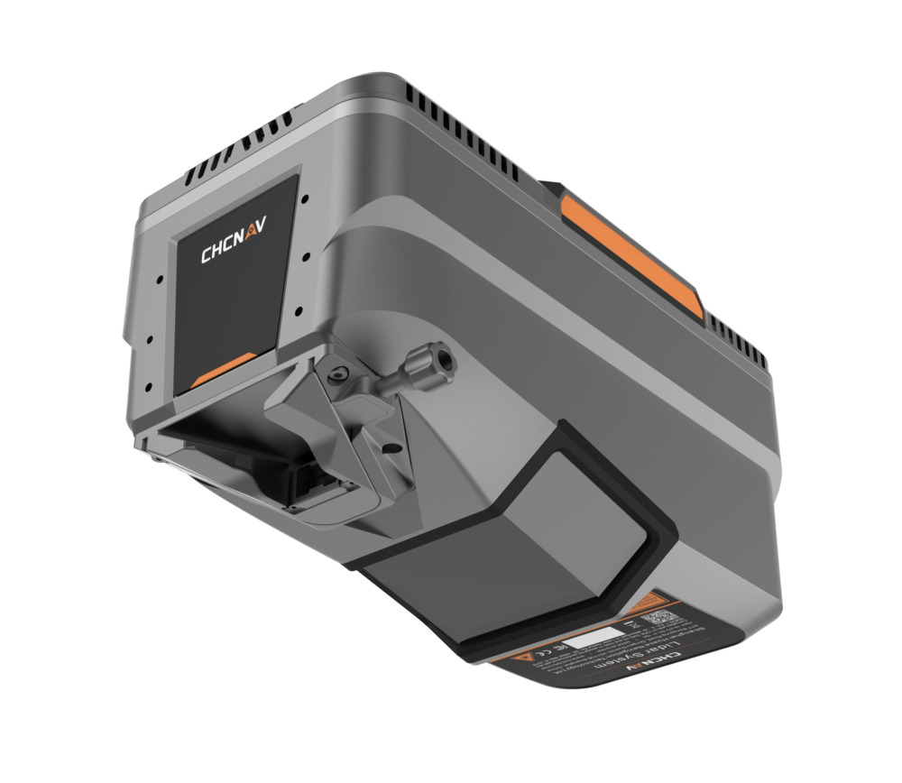
The AlphaAir 15 (AA15) is a lightweight, high-performance airborne LiDAR system developed by CHCNAV. It combines long-range scanning capabilities with high accuracy and rapid data acquisition in a compact design. Ideal for applications requiring high-density data, such as building and road extraction from point clouds, the AA15 is suitable for large-scale operations, particularly in mountainous regions. It can be mounted on various platforms, including light aircraft, helicopters, and UAVs, and is equipped with multiple camera options to meet diverse imaging needs.
Key Features:
Efficient and Powerful Sensor:
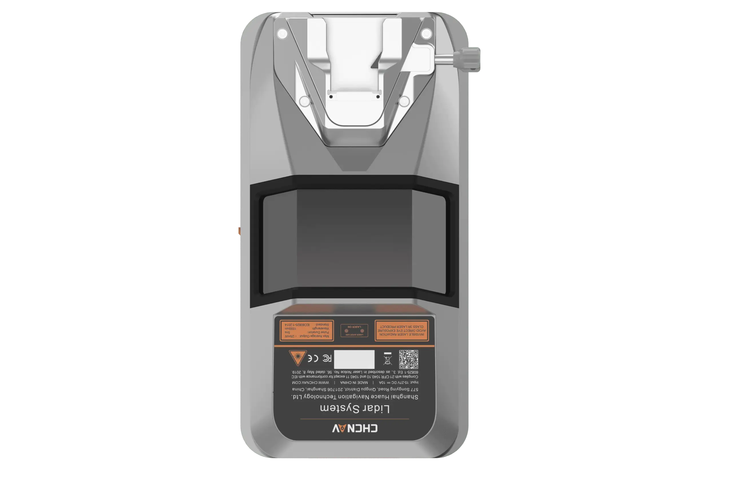
- Patented tilted-prism technology
- 15 mm linear accuracy on long-range scans up to 150 meters
- Echo digitization and online waveform processing
- Scan speeds up to 600 lines per second
- 2 million pulses per second
Strong Vegetation Penetration:
- Multi-target capability with up to 16 returns per laser pulse
- 7 multi-period zone processing
- High point frequency increases laser penetration through vegetation
Airborne Platform Compatibility:
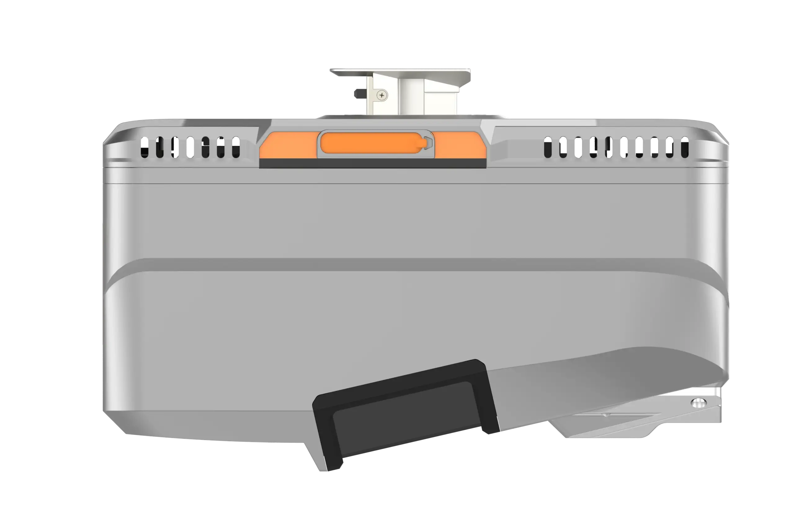
- Unified Alphaport interface for quick connections
- Compact and lightweight design (2.5 kg)
- Suitable for UAS, UAV, RPAS, small manned aircraft, and helicopters
Productive Survey:
- Captures 2 million points per second
- Maximum range of 1800 meters
- Flying height up to 700 meters with minimal point loss
- Ideal for corridor mapping, urban projects, and large areas
Imaging Quality:
- Supports external cameras (CHCNAV’s 45 or 61 MP full-frame, 130 MP half-frame oblique)
- Compatible with third-party cameras
- Facilitates rapid mesh model construction and detailed texture mapping
Complete Ecosystem:
- SmartGo App for automated reality capture and mission monitoring
- CoPre and CoProcess software suite for post-processing and feature extraction
The AlphaAir 15 (AA15) by CHCNAV is designed for efficient and precise airborne LiDAR mapping. Utilizing advanced technologies, it delivers high-density point clouds and accurate ground feature detection. Its strong vegetation penetration capability makes it suitable for diverse environments, while its compatibility with multiple platforms ensures flexible deployment. The AA15’s comprehensive ecosystem, including software solutions, streamlines the entire data workflow from capture to processing.


Reviews
There are no reviews yet.