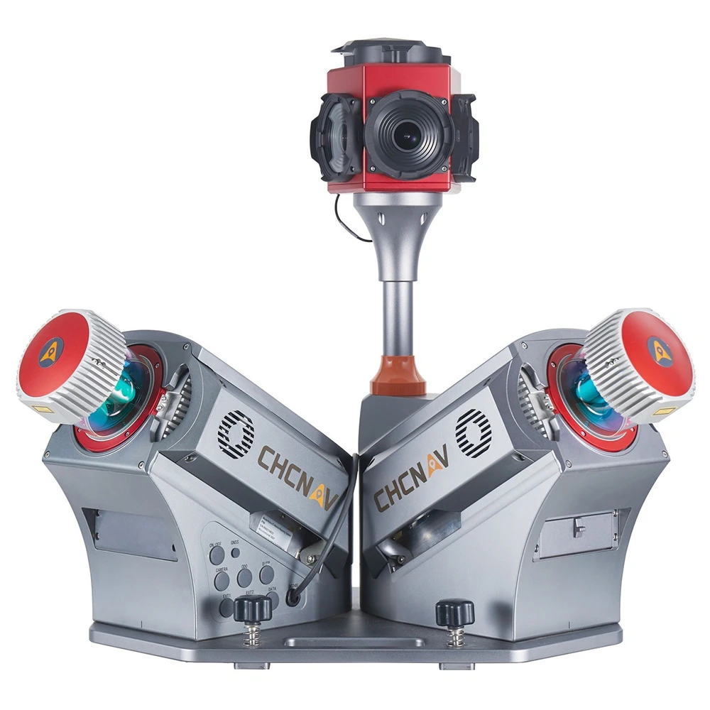
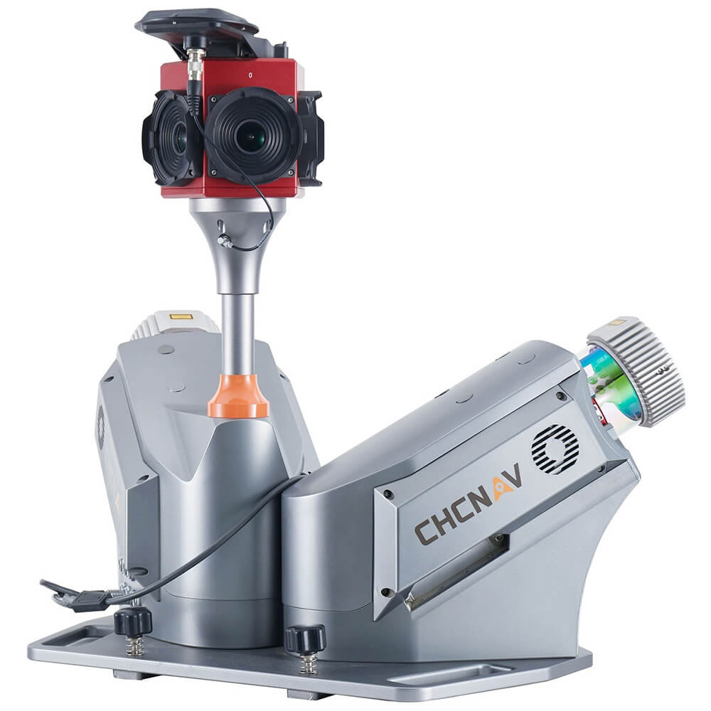

CHCNAV Alpha3D Dual Mobile Mapping System
The Alpha3D Dual Mobile Mapping Solution by CHC Navigation offers a high-performance, vehicle-independent system designed for capturing extensive geospatial data in dynamic environments. With double the scanning speed and rotation, this advanced system ensures higher point cloud density and eliminates unscanned areas. The integration of precise laser scanners, a high-resolution HDR panoramic camera, a cutting-edge GNSS receiver, and a high-precision IMU makes Alpha3D Dual one of the most efficient and advanced 3D mobile mapping systems in the premium segment.
Key Features:
Premium Laser Scanning:
- Equipped with two laser scanners, the Alpha3D Dual provides long-range scanning up to 475 meters, with an extremely high scanning speed of 1.8 million points per second. This results in high-point cloud density without missing parts, even during high-speed driving.
High-Resolution 360° Imaging:
- The system features a 30 MP HDR panoramic camera, delivering superb image quality and fully calibrated point clouds and panoramic images.
Vehicle Independence:
- The system can be easily mounted on various vehicles, including cars, trains, railway trolleys, and boats, ensuring versatility and adaptability.
Versatile Data Collection:
- Supports additional sensors such as high-resolution cameras, thermal cameras, GPR, echo-sounders, and more, allowing expansion into new industries and applications.
Enhanced Productivity and ROI:
- By combining point clouds, high-resolution images, and additional sensors, the need for return site visits is eliminated, boosting productivity and increasing ROI.
CoCapture Software:
- This browser-based operation application simplifies mission management, internal component checks, and data capture via any device.
The Alpha3D Dual is a high-performance solution for professionals requiring accurate and efficient 3D mobile mapping. It features dual laser scanners and a high-resolution HDR camera for comprehensive and precise data capture. This versatile and adaptable system can be mounted on various vehicle types and supports multiple additional sensors, meeting diverse application needs. Its efficient data processing and intuitive software interface make it ideal for projects demanding rapid and accurate geospatial data collection.
Application:
The Alpha3D Dual is ideal for a variety of high-performance GIS applications, including urban mapping, infrastructure monitoring, and environmental surveys. Its dual laser scanners and high-resolution imaging capabilities ensure comprehensive and precise data collection, making it suitable for projects requiring detailed geospatial information. The system’s versatility and vehicle independence allow it to be used in multiple settings, from road and rail to water-based applications, providing geospatial professionals with a reliable and efficient tool for their data collection needs.


Reviews
There are no reviews yet.