
AlphaUni 20 (AU20) Multi-Platform LiDAR Solutions
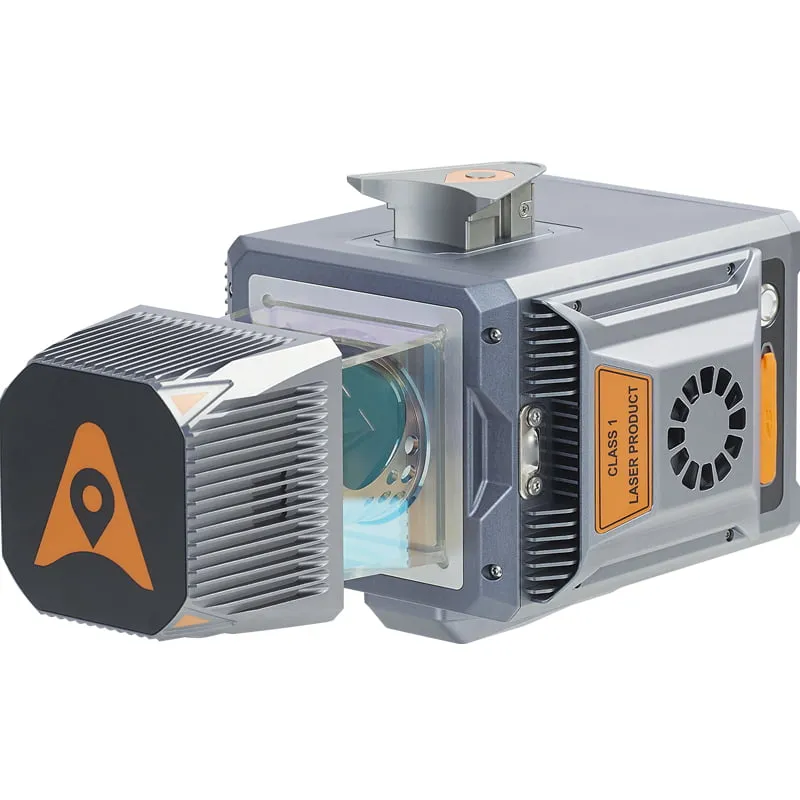
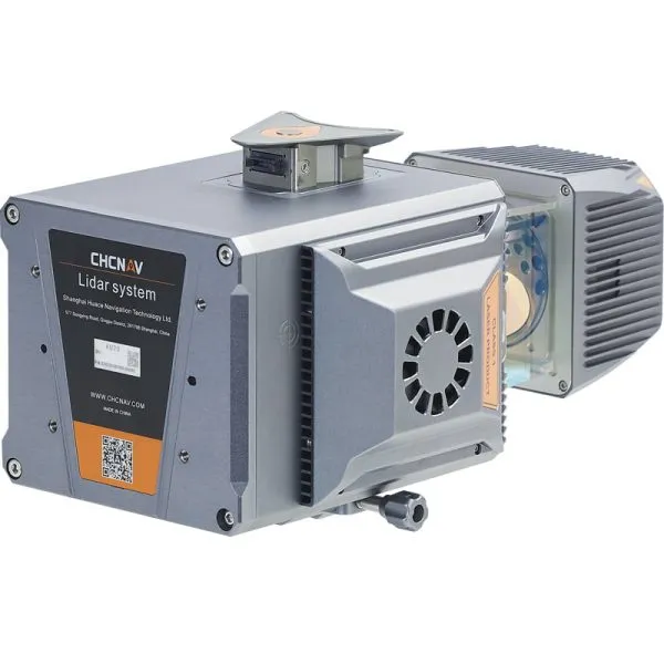
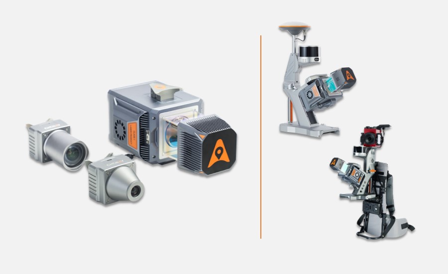
The AlphaUni 20 (AU20) is a versatile and cost-effective mobile mapping system developed by CHCNAV. It benefits from six years of innovation and cutting-edge LiDAR technology, providing superior data accuracy and efficiency. The AU20 is designed for multiple platforms, including aerial and land vehicles, and offers exceptional vegetation penetration, extended measurement range, high accuracy, and data density. Its unique installation design ensures flexibility and optimal point cloud density, making it ideal for a wide range of applications, from road surface mapping to highway maintenance and asset management.
Key Features:
Outstanding Accuracy:
- High-precision navigation algorithm
- 5 mm repeated ranging accuracy
- Absolute accuracy of 2 to 5 cm in challenging environments
Multi-Platform Design:
- Compatible with manned and unmanned aircraft
- Suitable for various land vehicles (cars, boats, trains)
- It can be mounted on a backpack for narrow-area mapping
Strong Penetration:
- Supports up to 16 target echoes
- Superior vegetation penetration
- Accurate DEMs and DSMs generation
Premium Laser:
- Long-range survey capabilities up to 1450 m
- High-speed scanning at 2M points per second
- Continuously rotating mirror with scan speeds up to 200 scans per second
Industrial Reliability:
- High levels of protection and operational performance
- Reliable in unexpected weather conditions and challenging sites
Light-Weight:
- Weighs only 2.82 kg (3.12 kg with a C5 camera)
- Total weight of 10.7 kg with Ladybug5+ car mount kit
Highly Integrated:
- Quick and easy installation with Alphaport’s one-click connection
Efficient Workflow:
- SmartGo software for automated reality capture and real-time mission monitoring
- CoPre desktop software for intelligent point cloud processing
The AlphaUni 20 (AU20) by CHCNAV offers a flexible and high-end solution for multi-platform LiDAR mapping. It integrates advanced technology to deliver accurate and high-density data, suitable for various environments and applications. Its lightweight and compact design, coupled with robust software solutions, ensure efficient data capture and processing, democratizing the reality capture industry and making advanced LiDAR technology accessible to all.


Reviews
There are no reviews yet.