
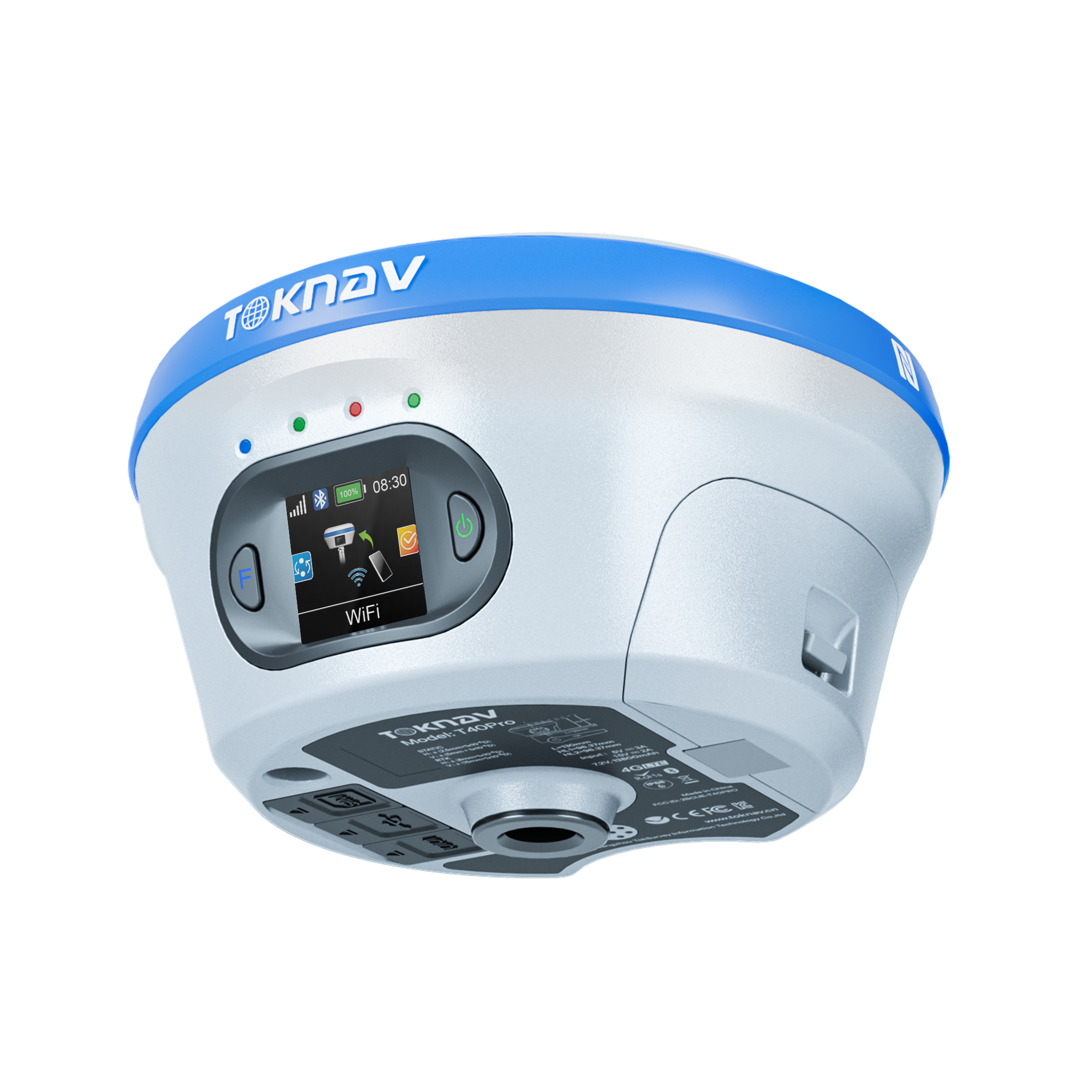
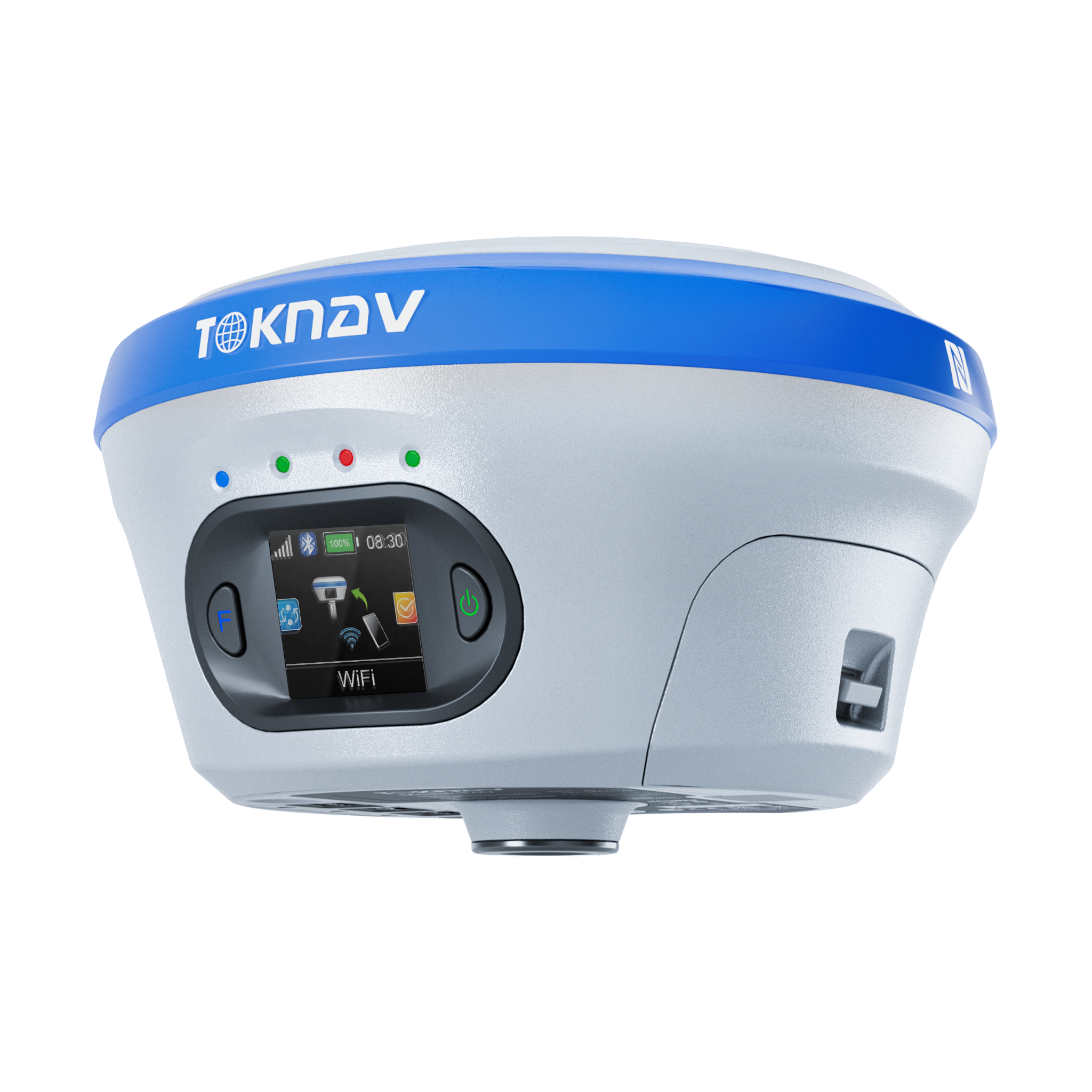
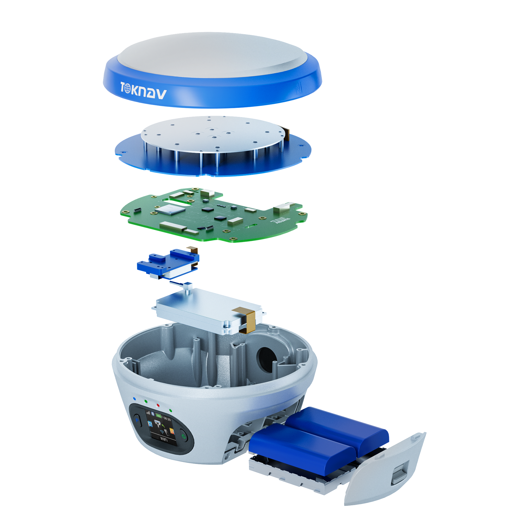
Toknav T40Pro GNSS Receiver
The Toknav T40Pro GNSS Receiver is a high-performance, multi-functional RTK solution designed for professionals in surveying, construction, GIS, and photogrammetry. This next-generation receiver integrates GNSS, IMU, AR, and a high-definition photogrammetry camera into a compact, durable design. Built with a magnesium-aluminum alloy shell and IP68-rated protection, the T40Pro thrives in the toughest field environments. It supports hot-swappable dual batteries, ensuring over 20 hours of uninterrupted operation.
With real-time tilt compensation, AR-assisted stakeout, and image-based coordinate extraction, the T40Pro simplifies fieldwork while improving accuracy and productivity. The advanced Linux + ARM Cortex-A7 platform provides exceptional computing power and seamless feature expansion. Ideal for surveyors seeking high-precision data, portability, and all-day field performance.
Key Features of Toknav T40Pro GNSS Receiver
Photogrammetric RTK: Capture and process high-definition imagery using a built-in wide-angle camera (1/2.6″ sensor) for accurate photogrammetric surveys.
Tilt Measurement with IMU: Achieve real-time tilt correction up to 60°, eliminating errors due to pole inclination.
AR Stakeout: Visual stakeout via an ultra-wide-angle camera with <2cm accuracy in AR-guided layout applications.
Hot-Swappable Batteries: Dual 3400mAh batteries allow uninterrupted operation with quick swap functionality.
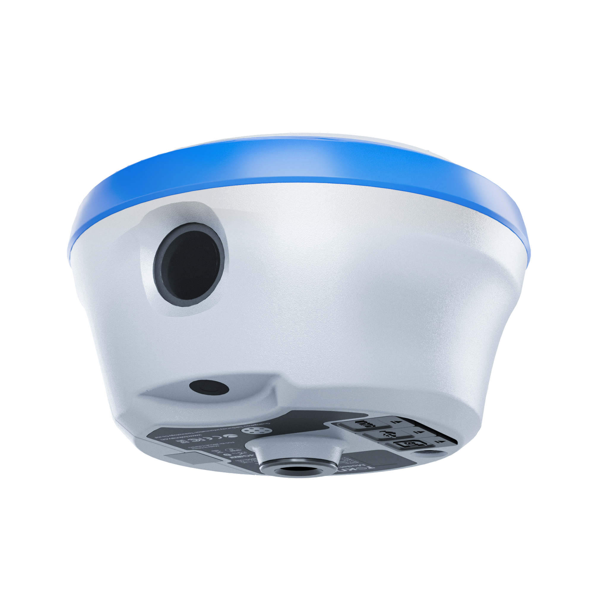
Rugged IP68 Design: Engineered with a durable magnesium-alloy body and water/dustproof shell to withstand drops and extreme weather.
Linux-Based Intelligent System: Fast processing and scalable features using a reliable Cortex-A7 CPU.
Multi-Constellation Support: Compatible with GPS, GLONASS, BDS, GALILEO, QZSS, and IRNSS.
Seamless Connectivity: Built-in Bluetooth, Wi-Fi, LTE, and UHF radio for flexible communication and data sharing.
Applications of the Toknav T40Pro GNSS Receiver
Land Surveying – Achieve sub-centimeter accuracy even in tilted or obstructed environments.
Construction Layout – Use AR-guided stakeout for fast, accurate placement of foundations, utilities, and features.
Photogrammetry & 3D Mapping – Capture real-world coordinates and imagery for use in modeling, documentation, and analysis.
GIS Data Collection – Integrate high-precision GNSS data into GIS workflows with field-to-office efficiency.
Utility & Infrastructure – Map and inspect pipelines, roads, and electrical lines with real-time accuracy and ease.


Reviews
There are no reviews yet.