GNSS Global Navigation Satellite System|GPS Global Positioning System
Global Navigation Satellite System (GNSS) is the System to Describe satellite constellation that provides positioning, navigation, and timing (PNT) services globaly and regional basis. When it comes to Globle Positioning Systems GPS is the Powerfull GNSS Reciver, there are Deffrent Satellite and GNSS Systems Define by Deffrent nations are fielding, or have fielded, their own systems to provide complementary, independent PNT capability. The main ones are described below. GNSS refer to augmentation systems, there are too many Globly augmentations to list here. Rise Geo is one of the Leading Supplier in the Regien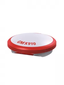
No description
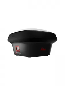
- Leica RTKplus
- GPS (L1, L2, L2C, L5), GLONASS (L1, L2, L3), BeiDou, Galileo, QZSS, NaviC L5, SBAS
- 320 channels
- RTK Network Accuracy - H: 10mm + 0.5ppm; V: 20mm + 0.5ppm
- Comes with Viva CS20 field data recorder / controller
- Full Alphanumeric Keyboard, 5 ”Screen, GPRS & UHF Modems
- Leica Captivate software
- USB, SD connectors
- Li-Ion batteries
- 0.7 kg weight
- Operating temperature from -40 to +65°C
- IP66 protectio
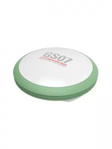
1.IP66 / IP68 protection
2.Built for extreme temperatures of -40°C to +65°C
3.Increased measurement productivity and traceability
4.555 channels for more signals, faster acquisition and improved sensitivity
5.HxGN SmartNet Satellite Positioning - your No.1 partner for network RTK
1.IP66 / IP68 protection
2.Built for extreme temperatures of -40°C to +65°C
3.Increased measurement productivity and traceability
4.555 channels for more signals, faster acquisition and improved sensitivity
5.HxGN SmartNet Satellite Positioning - your No.1 partner for network RTK

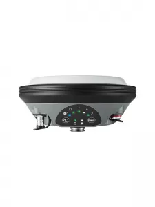
- IP66 / IP68 protection
- Built for extreme temperatures of -40°C to +65°C
- Fulfils toughest standards throughout the complete product lifetime
- Rugged aluminium housing
- Measure points with obstructed view to the sky more efficiently and easily.
- Capture points you couldn’t reach before with a GNSS rover.
- Gain more flexibility and control, with no need to use additional time-consuming equipment.
- Map hundreds of points with survey-grade accuracy within minutes.
- Tap on an image to measure a point in the field or in the office.
- Quick and thorough so you catch every detail